UN/LOCODE hub · United States
USPKS
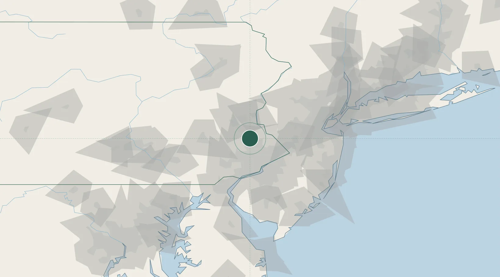
Perkasie
40.3667°, -75.2833°
8,471
Population
3
Transport functions
Transport Functions
Rail
Road
Multimodal
Hub Profile
Place type
Populated place
Region
Pennsylvania
Population
8,471
Time zone
America/New_York
Elevation
110 m
Location
Nearby Logistics Neighbours
Cities
- 1Sellersville3 km
- 2Dublin7 km
- 3Hatfield, Montgomery9 km
- 4Line Lexington10 km
- 5Ottsville15 km
Ports
- 1Bristol47 km
- 2Burlington47 km
- 3Trenton48 km
- 4Philadelphia48 km
- 5Camden48 km
Airports
Trade Zones
DatabookThe Record of Consolidated Knowledge
United States beyond logistics?