UN/LOCODE hub · United States
USPJO
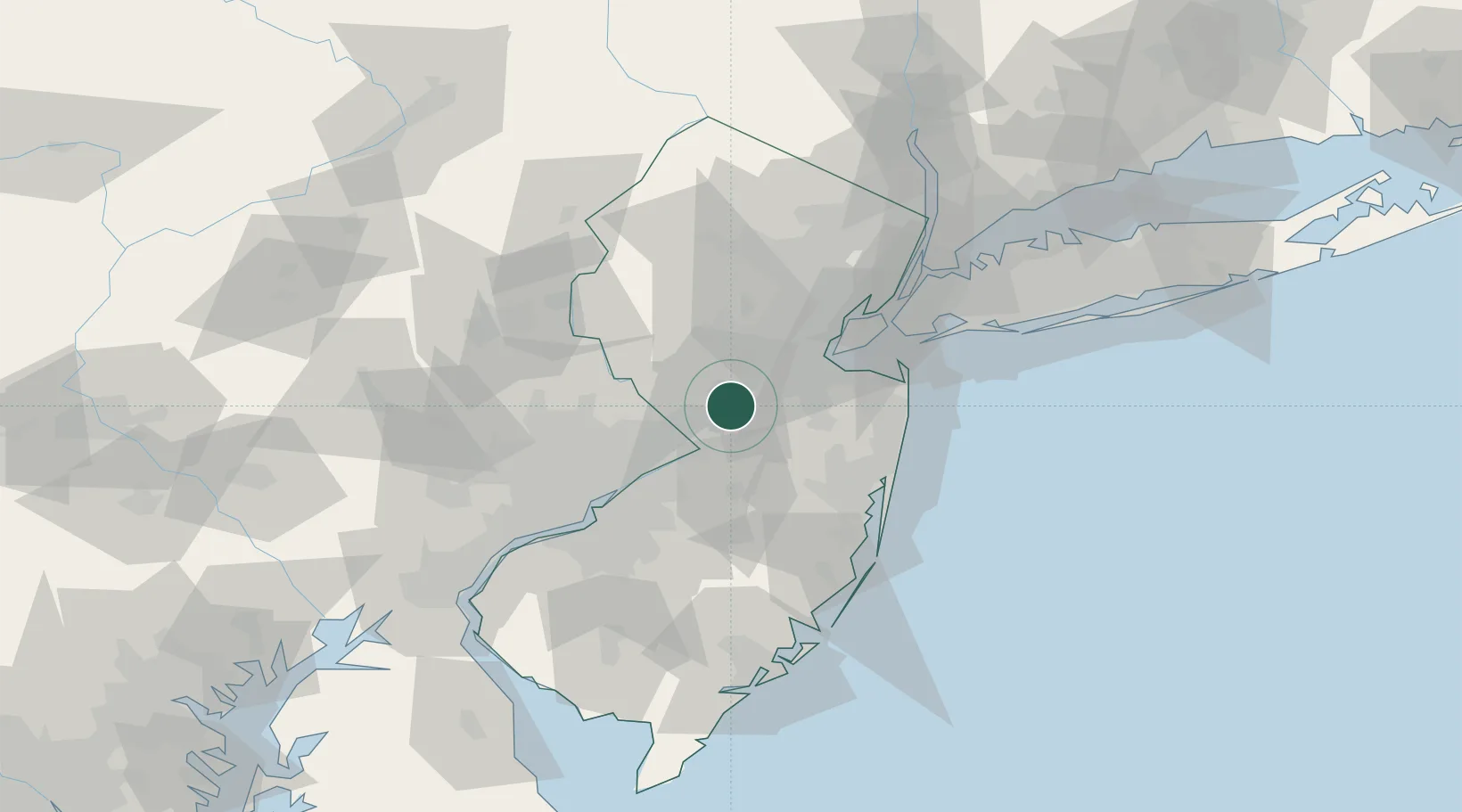
Princeton Junction
40.3167°, -74.6167°
2,465
Population
2
Transport functions
Transport Functions
Rail
Road
Hub Profile
Place type
Populated place
Region
New Jersey
Population
2,465
Time zone
America/New_York
Elevation
23 m
Location
Nearby Logistics Neighbours
Cities
- 1Millstone Township9 km
- 2Hamilton Square10 km
- 3Rosemont10 km
- 4Kendall Park13 km
- 5Jamesburg16 km
Ports
- 1Trenton18 km
- 2Sayreville27 km
- 3Bristol31 km
- 4Burlington34 km
- 5South Amboy35 km
Airports
Trade Zones
DatabookThe Record of Consolidated Knowledge
United States beyond logistics?