UN/LOCODE hub · United States
USQPN

Peconic

41.0333°, -72.4500°
683
Population
4
Transport functions

Transport Functions

Port
Rail
Road
Multimodal
UN/LOCODE

Hub Profile

Place type
Populated place
GeoNames
Region
New York
GeoNames
Population
683
GeoNames
Time zone
America/New_York
GeoNames
Elevation
9 m
GeoNames

Location

Location of USQPN
Natural Earth 10m (public domain) · New York · USQPN · 41.03, -72.45GoogleOSMYandex

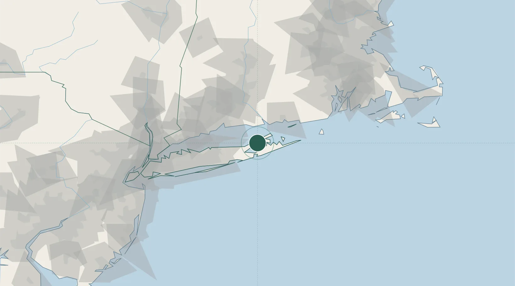
Nearby Logistics Neighbours

Cities
  1. 1Southold3 km
  2. 2Cutchogue5 km
  3. 3Mattituck9 km
  4. 4Greenport10 km
  5. 5Shelter Island11 km
Nearest neighbours — logibook spatial index (haversine) over the source coordinates
Ports
  1. 1Greenport10 km
  2. 2Essex36 km
  3. 3Montauk Harbor44 km
  4. 4New Haven45 km
  5. 5New London47 km
Nearest neighbours — logibook spatial index (haversine) over the source coordinates
Airports
  1. 1Montauk Airport45 km
  2. 2Tweed New Haven Airport45 km
  3. 3Groton New London Airport47 km
  4. 4Igor I Sikorsky Memorial Airport59 km
  5. 5Long Island MacArthur Airport61 km
Nearest neighbours — logibook spatial index (haversine) over the source coordinates
Trade Zones
  1. 1FTZ No. 208 New London46 km
  2. 2FTZ No. 162 New Haven50 km
  3. 3FTZ No. 052 Suffolk County64 km
  4. 4FTZ No. 076 Bridgeport64 km
  5. 5FTZ No. 071 Windsor Locks101 km
Nearest neighbours — logibook spatial index (haversine) over the source coordinates
DatabookThe Record of Consolidated Knowledge
United States beyond logistics?
Browse databook

All Sources

LocationsUN/LOCODE
UN/LOCODE — free
LocationsGeoNames
CC BY 4.0
Portsthe NGA World Port Index
Public domain (US gov)
AirportsOurAirports
Public domain
Trade Zonesthe World Bank SEZ database
CC BY 4.0
Trade ZonesOpen Zone Map
CC BY
← United States locations