Transport Functions
Multimodal
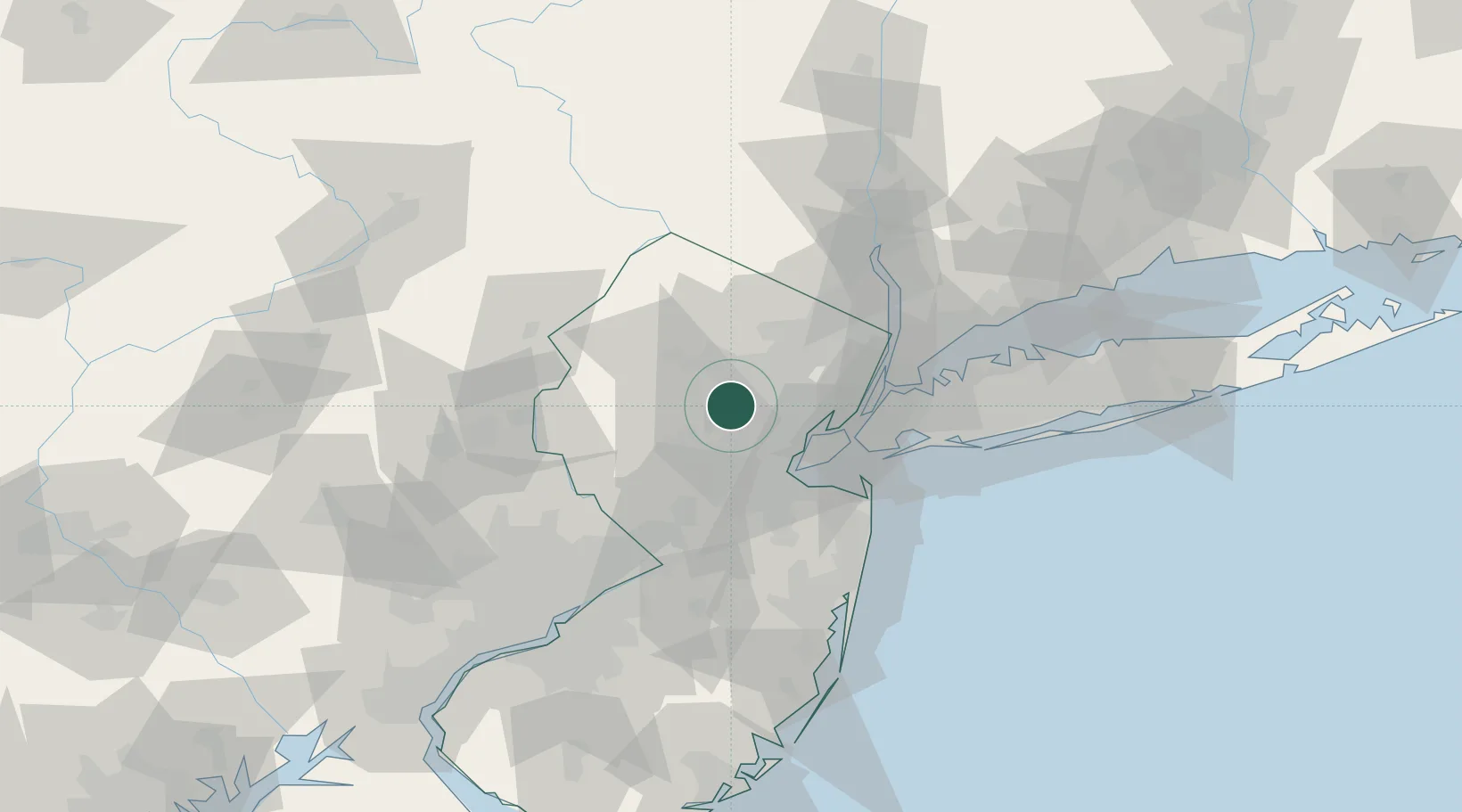
Hub Profile
Place type
Populated place
Region
New Jersey
Time zone
America/New_York
Elevation
103 m
Location
Nearby Logistics Neighbours
Cities
- 1Stirling8 km
- 2New Providence9 km
- 3Monroe10 km
- 4Birch Hills10 km
- 5Mendham11 km
Ports
- 1Bayway26 km
- 2Elizabethport27 km
- 3Carteret28 km
- 4Port Reading28 km
- 5Newark28 km
Airports
Trade Zones
DatabookThe Record of Consolidated Knowledge
United States beyond logistics?