Transport Functions
Rail
Road
Hub Profile
Place type
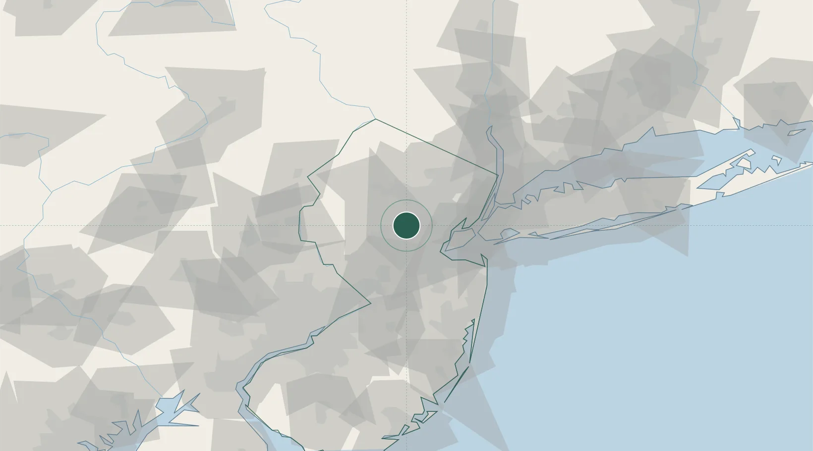
Populated place
Region
New Jersey
Time zone
America/New_York
Elevation
66 m
Location
Nearby Logistics Neighbours
Cities
- 1East Millstone7 km
- 2New Vernon8 km
- 3Warrenville8 km
- 4New Providence9 km
- 5Green Brook10 km
Ports
- 1Sewaren25 km
- 2Sayreville25 km
- 3Port Reading25 km
- 4Bayway26 km
- 5Carteret26 km
Airports
Trade Zones
DatabookThe Record of Consolidated Knowledge
United States beyond logistics?