UN/LOCODE hub · United States
USCQ6

Coal Township

40.7833°, -76.5500°
2
Transport functions

Transport Functions

Road
Multimodal
UN/LOCODE

Hub Profile

Region
PA
GeoNames

Location

Location of USCQ6
Natural Earth 10m (public domain) · PA · USCQ6 · 40.78, -76.55GoogleOSMYandex

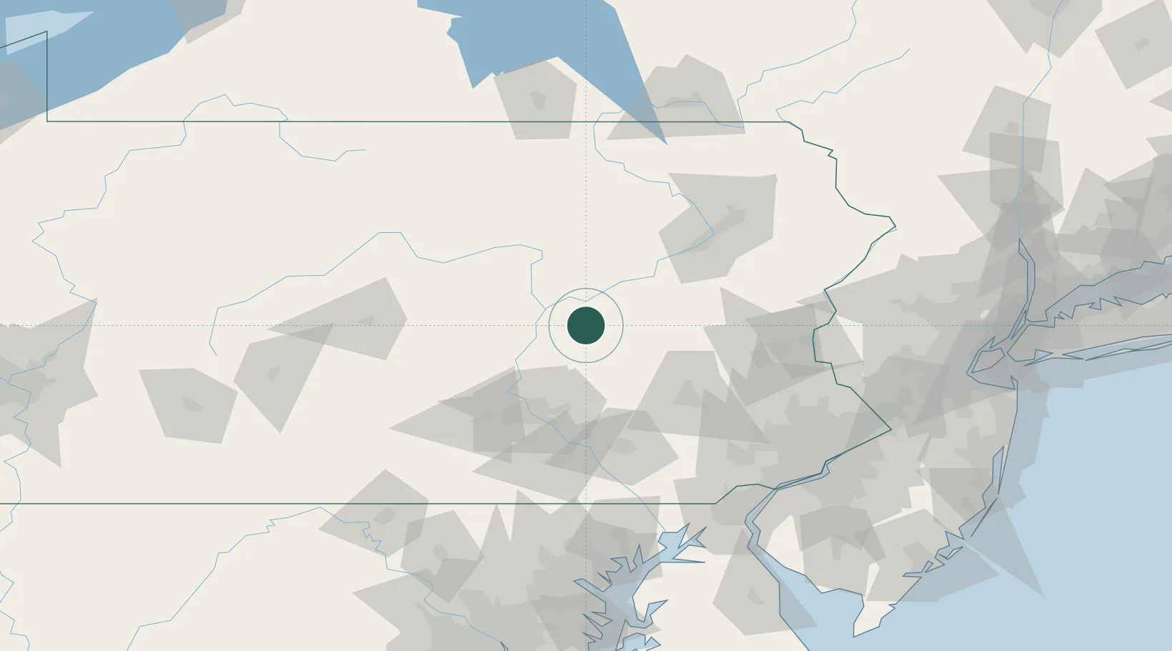
Nearby Logistics Neighbours

Cities
  1. 1Shamokin0 km
  2. 2Coal Run, Northumberland3 km
  3. 3Kulpmont7 km
  4. 4Elysburg9 km
  5. 5Mabel12 km
Nearest neighbours — logibook spatial index (haversine) over the source coordinates
Ports
  1. 1Marcus Hook144 km
  2. 2Wilmington144 km
  3. 3Havre De Grace145 km
  4. 4Chester145 km
  5. 5Deepwater Point149 km
Nearest neighbours — logibook spatial index (haversine) over the source coordinates
Airports
  1. 1Muir Army Air Field (Fort Indiantown Gap) Airport39 km
  2. 2Williamsport Regional Airport60 km
  3. 3Reading Regional Airport (Carl A Spaatz Field)67 km
  4. 4Harrisburg International Airport68 km
  5. 5Lancaster Airport77 km
Nearest neighbours — logibook spatial index (haversine) over the source coordinates
Trade Zones
  1. 1FTZ No. 147 Berks County48 km
  2. 2FTZ No. 272 Counties of Lehigh and Northampton68 km
  3. 3FTZ No. 024 Pittston87 km
  4. 4FTZ No. 035 Philadelphia140 km
  5. 5FTZ No. 044 Morris County143 km
Nearest neighbours — logibook spatial index (haversine) over the source coordinates
DatabookThe Record of Consolidated Knowledge
United States beyond logistics?
Browse databook

All Sources

LocationsUN/LOCODE
UN/LOCODE — free
Portsthe NGA World Port Index
Public domain (US gov)
AirportsOurAirports
Public domain
Trade Zonesthe World Bank SEZ database
CC BY 4.0
Trade ZonesOpen Zone Map
CC BY
← United States locations