UN/LOCODE hub · United States
USQHR
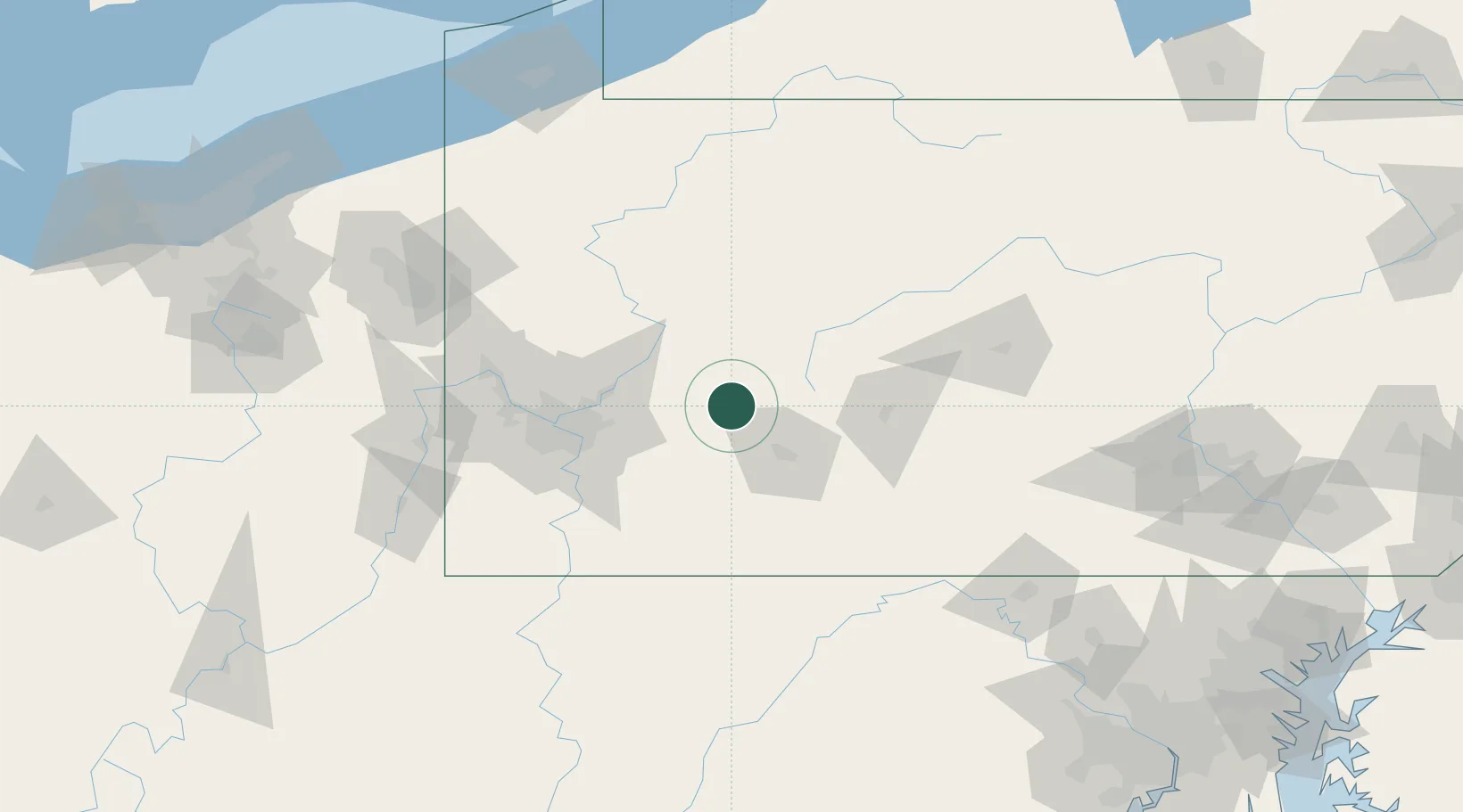
Homer City
40.5333°, -79.1500°
1,652
Population
3
Transport functions
Transport Functions
Rail
Road
Multimodal
Hub Profile
Place type
Populated place
Region
Pennsylvania
Population
1,652
Time zone
America/New_York
Elevation
314 m
Location
Nearby Logistics Neighbours
Cities
- 1Palmertown8 km
- 2Littletown10 km
- 3Creekside15 km
- 4New Florence18 km
- 5Derry26 km
Airports
Trade Zones
- 1FTZ No. 295 Central Pennsylvania74 km
- 2FTZ No. 033 Pittsburgh77 km
- 3FTZ No. 254 Jefferson County106 km
- 4FTZ No. 240 Martinsburg154 km
- 5FTZ No. 247 Erie193 km
DatabookThe Record of Consolidated Knowledge
United States beyond logistics?