Transport Functions
Port
Rail
Road
Multimodal
Hub Profile
Place type
Populated place
Region
Pennsylvania
Population
309
Time zone
America/New_York
Elevation
321 m
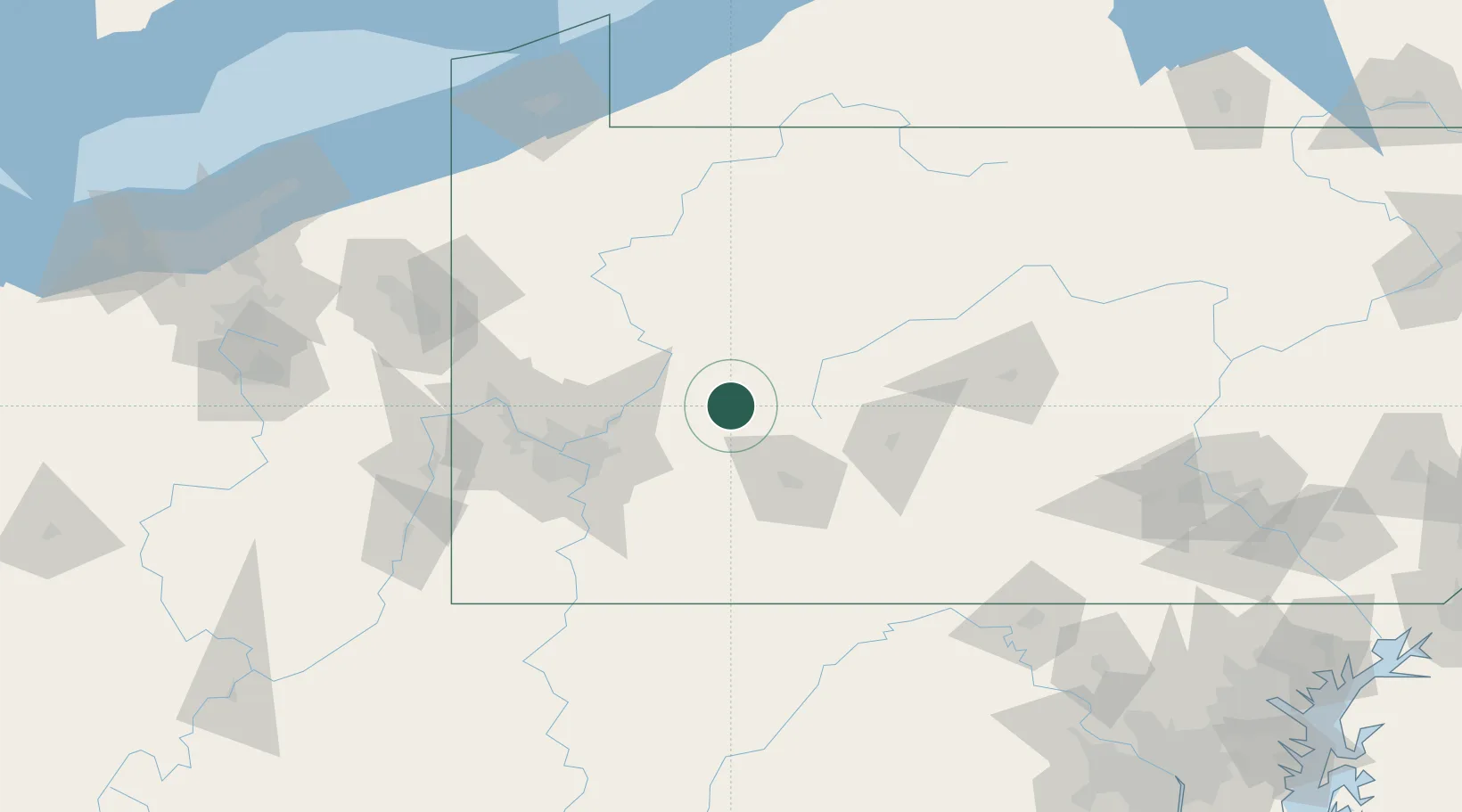
Location
Nearby Logistics Neighbours
Cities
- 1Homer City15 km
- 2Littletown21 km
- 3Palmertown22 km
- 4Saltsburg30 km
- 5New Florence33 km
Airports
Trade Zones
- 1FTZ No. 295 Central Pennsylvania63 km
- 2FTZ No. 033 Pittsburgh78 km
- 3FTZ No. 254 Jefferson County93 km
- 4FTZ No. 240 Martinsburg168 km
- 5FTZ No. 247 Erie179 km
DatabookThe Record of Consolidated Knowledge
United States beyond logistics?