UN/LOCODE hub · United States
USWP9

West Paterson

40.8833°, -74.2000°
2
Transport functions

Transport Functions

Road
Multimodal
UN/LOCODE

Hub Profile

Region
NJ
GeoNames

Location

Location of USWP9
Natural Earth 10m (public domain) · NJ · USWP9 · 40.88, -74.20GoogleOSMYandex

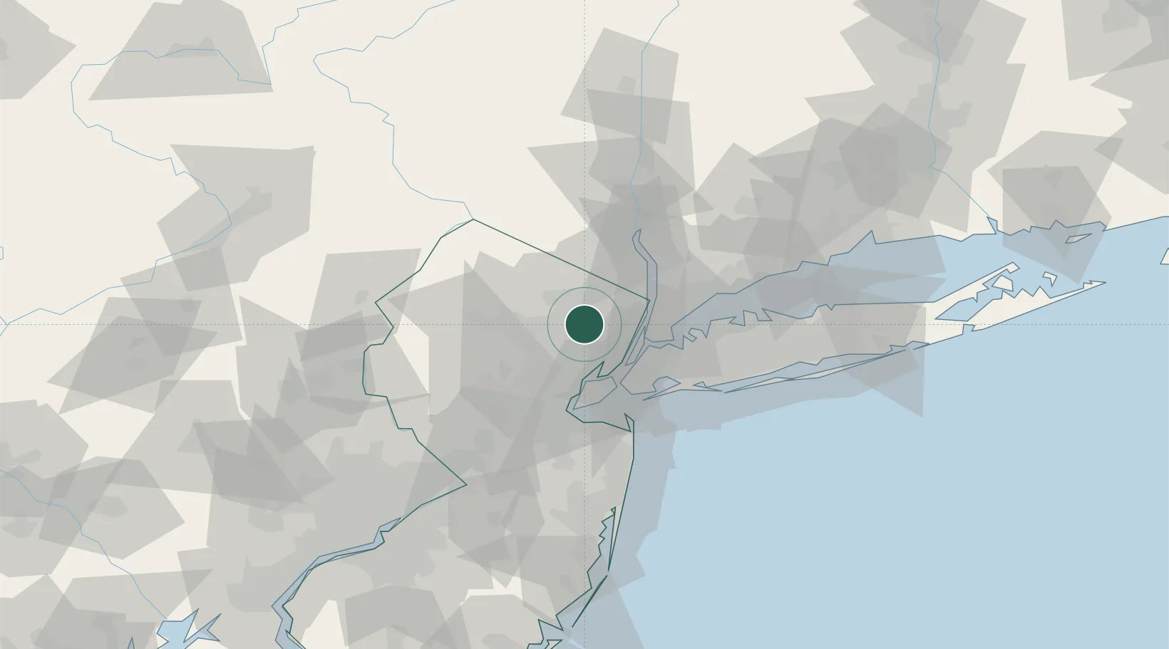
Nearby Logistics Neighbours

Cities
  1. 1North Caldwell6 km
  2. 2Glen Ridge9 km
  3. 3Pequannock10 km
  4. 4Hasbrouck Heights12 km
  5. 5Pompton13 km
Nearest neighbours — logibook spatial index (haversine) over the source coordinates
Ports
  1. 1Edgewater20 km
  2. 2Weehawken20 km
  3. 3Newark21 km
  4. 4Hoboken21 km
  5. 5Jersey City23 km
Nearest neighbours — logibook spatial index (haversine) over the source coordinates
Airports
  1. 1Teterboro Airport12 km
  2. 2Morristown Municipal Airport20 km
  3. 3West 30th Street Heliport22 km
  4. 4Newark Liberty International Airport22 km
  5. 5East 34th Street Heliport25 km
Nearest neighbours — logibook spatial index (haversine) over the source coordinates
Trade Zones
  1. 1FTZ No. 049 Newark Elizabeth22 km
  2. 2FTZ No. 001 New York City25 km
  3. 3FTZ No. 044 Morris County55 km
  4. 4FTZ No. 037 Orange County82 km
  5. 5FTZ No. 052 Suffolk County84 km
Nearest neighbours — logibook spatial index (haversine) over the source coordinates
DatabookThe Record of Consolidated Knowledge
United States beyond logistics?
Browse databook

All Sources

LocationsUN/LOCODE
UN/LOCODE — free
Portsthe NGA World Port Index
Public domain (US gov)
AirportsOurAirports
Public domain
Trade Zonesthe World Bank SEZ database
CC BY 4.0
Trade ZonesOpen Zone Map
CC BY
← United States locations