UN/LOCODE hub · United States
USKU4
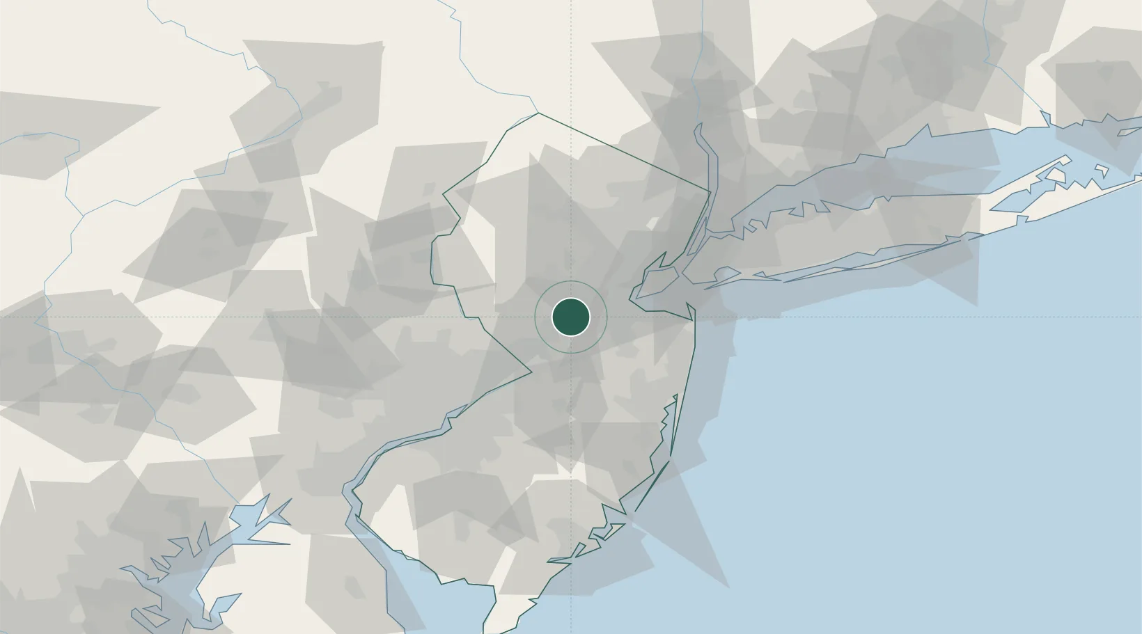
Kendall Park
40.4167°, -74.5500°
9,339
Population
2
Transport functions
Transport Functions
Port
Multimodal
Hub Profile
Place type
Populated place
Region
New Jersey
Population
9,339
Time zone
America/New_York
Elevation
56 m
Location
Nearby Logistics Neighbours
Cities
- 1Clyde8 km
- 2Jamesburg12 km
- 3Princeton Junction13 km
- 4Monroe Township16 km
- 5Sayreville17 km
Ports
- 1Sayreville17 km
- 2South Amboy25 km
- 3Perth Amboy26 km
- 4Sewaren29 km
- 5Trenton30 km
Airports
Trade Zones
DatabookThe Record of Consolidated Knowledge
United States beyond logistics?