UN/LOCODE hub · United States
USHPG
Hughes Springs
33.0000°, -94.6167°
1,776
Population
2
Transport functions
Transport Functions
Rail
Road
Hub Profile
Place type
Populated place
Region
Texas
Population
1,776
Time zone
America/Chicago
Elevation
115 m
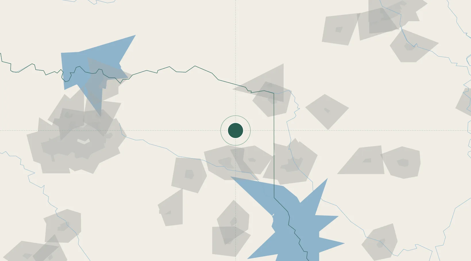
Location
Nearby Logistics Neighbours
Cities
- 1Panhandle, Cass35 km
- 2Mount Pleasant38 km
- 3Jefferson38 km
- 4Leesburg44 km
- 5Atlanta45 km
Ports
- 1Beaumont328 km
- 2Orange335 km
- 3Lake Charles336 km
- 4Port Neches340 km
- 5Port Arthur358 km
Airports
Trade Zones
- 1FTZ No. 258 Bowie County53 km
- 2FTZ No. 234 Gregg County61 km
- 3FTZ No. 145 Shreveport86 km
- 4FTZ No. 146 Lawrence County86 km
- 5FTZ No. 269 Athens149 km
DatabookThe Record of Consolidated Knowledge
United States beyond logistics?