Transport Functions
Rail
Road
Hub Profile
Place type
Populated place
Region
Louisiana
Population
997
Time zone
America/Chicago
Elevation
62 m
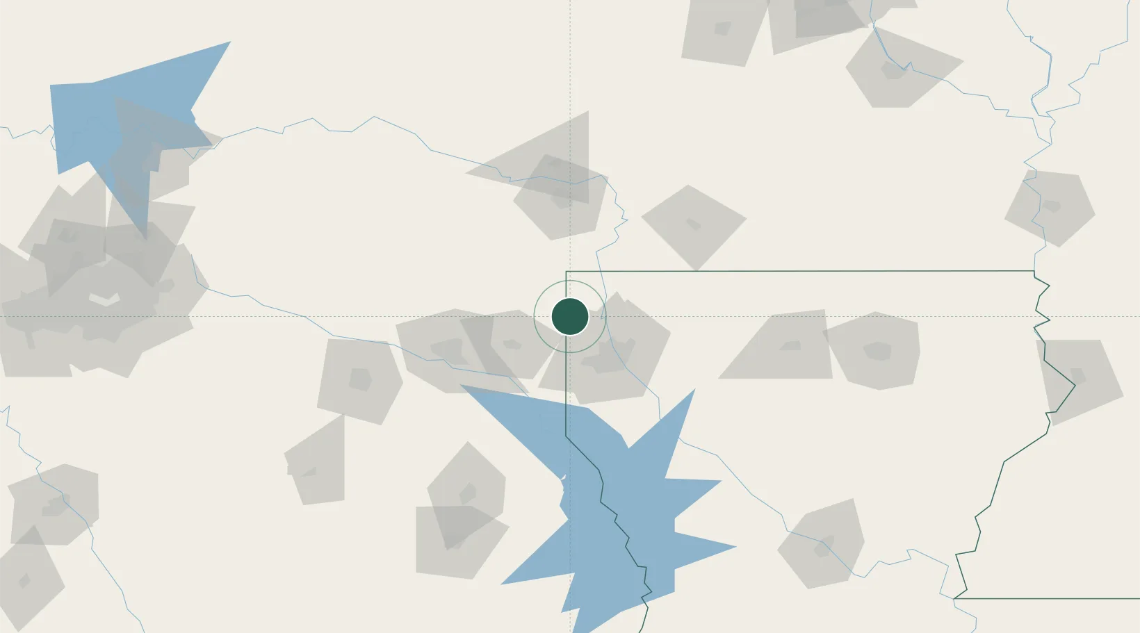
Location
Nearby Logistics Neighbours
Cities
- 1Benton25 km
- 2Jefferson30 km
- 3Waskom30 km
- 4Atlanta43 km
- 5Queen City46 km
Ports
- 1Lake Charles289 km
- 2Beaumont295 km
- 3Orange296 km
- 4Port Neches304 km
- 5Port Arthur323 km
Airports
Trade Zones
- 1FTZ No. 145 Shreveport31 km
- 2FTZ No. 146 Lawrence County31 km
- 3FTZ No. 234 Gregg County88 km
- 4FTZ No. 258 Bowie County103 km
- 5FTZ No. 297 Lufkin173 km
DatabookThe Record of Consolidated Knowledge
United States beyond logistics?