UN/LOCODE hub · United States
USNPC
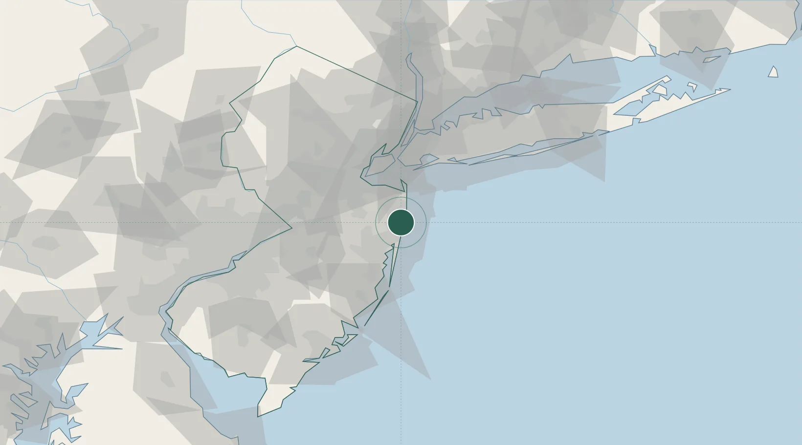
Neptune City
40.2000°, -74.0167°
4,803
Population
3
Transport functions
Transport Functions
Port
Road
Multimodal
Hub Profile
Place type
Populated place
Region
New Jersey
Population
4,803
Time zone
America/New_York
Elevation
9 m
Location
Nearby Logistics Neighbours
Cities
- 1Avon-by-the-Sea2 km
- 2Deal4 km
- 3Hamilton, Monmouth6 km
- 4West Long Branch9 km
- 5Manasquan9 km
Ports
- 1Leonardo26 km
- 2South Amboy38 km
- 3Perth Amboy40 km
- 4Sayreville42 km
- 5Sewaren44 km
Airports
Trade Zones
- 1FTZ No. 235 Lakewood24 km
- 2FTZ No. 049 Newark Elizabeth56 km
- 3FTZ No. 001 New York City57 km
- 4FTZ No. 200 Mercer County72 km
- 5FTZ No. 044 Morris County103 km
DatabookThe Record of Consolidated Knowledge
United States beyond logistics?