Transport Functions
Rail
Road
Hub Profile
Place type
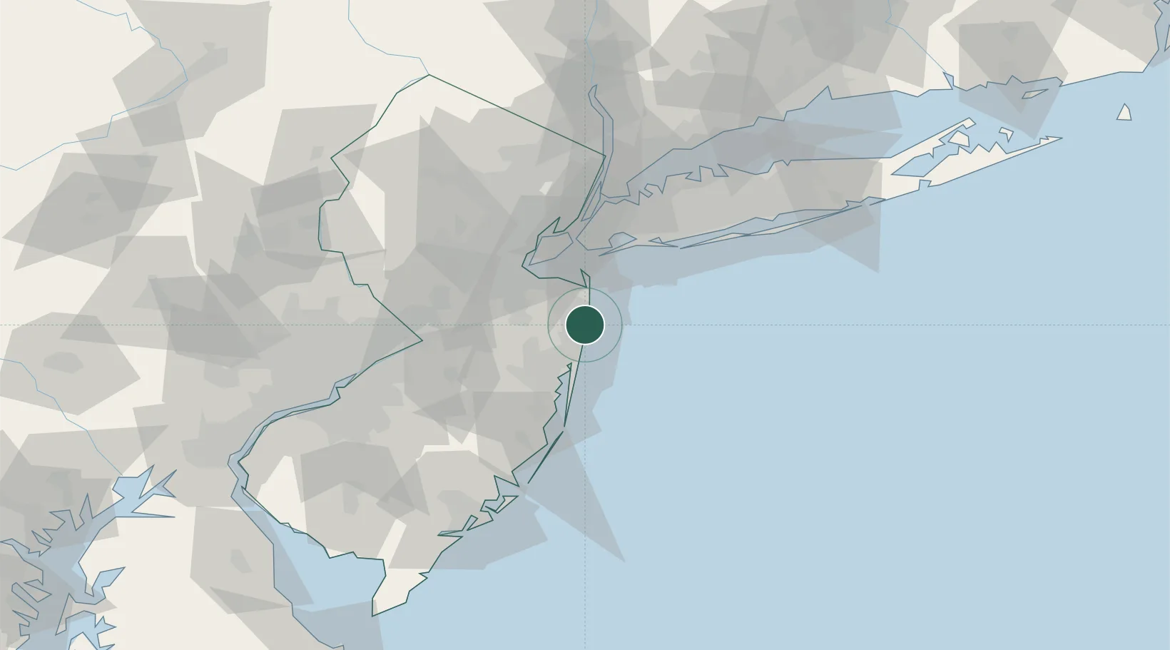
Populated place
Region
New Jersey
Population
738
Time zone
America/New_York
Elevation
8 m
Location
Nearby Logistics Neighbours
Cities
- 1Neptune City4 km
- 2Avon-by-the-Sea6 km
- 3West Long Branch6 km
- 4Long Branch7 km
- 5Hamilton, Monmouth8 km
Ports
- 1Leonardo23 km
- 2South Amboy36 km
- 3Perth Amboy37 km
- 4Sayreville41 km
- 5Sewaren41 km
Airports
Trade Zones
- 1FTZ No. 235 Lakewood27 km
- 2FTZ No. 049 Newark Elizabeth53 km
- 3FTZ No. 001 New York City53 km
- 4FTZ No. 200 Mercer County73 km
- 5FTZ No. 044 Morris County101 km
DatabookThe Record of Consolidated Knowledge
United States beyond logistics?