UN/LOCODE hub · United States
USZMQ
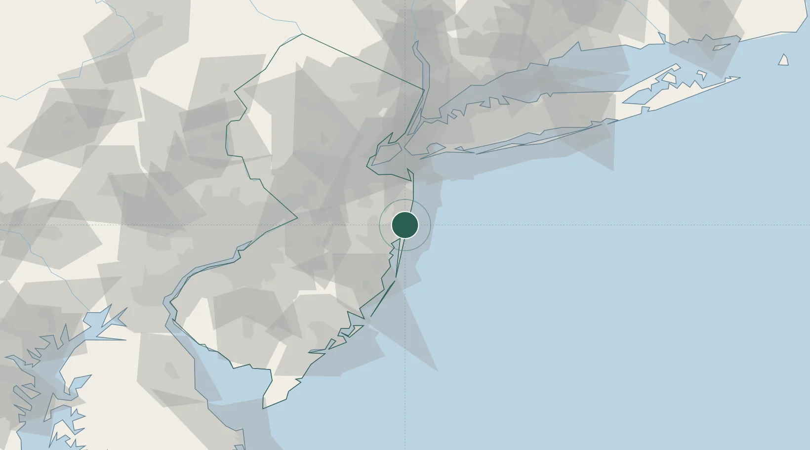
Manasquan
40.1167°, -74.0333°
5,815
Population
3
Transport functions
Transport Functions
Port
Road
Multimodal
Hub Profile
Place type
Populated place
Region
New Jersey
Population
5,815
Time zone
America/New_York
Elevation
6 m
Location
Nearby Logistics Neighbours
Cities
- 1Point Pleasant Beach4 km
- 2Allenwood6 km
- 3Point Pleasant6 km
- 4Avon-by-the-Sea8 km
- 5Neptune City9 km
Ports
- 1Leonardo35 km
- 2Barnegat39 km
- 3South Amboy45 km
- 4Perth Amboy47 km
- 5Sayreville48 km
Airports
Trade Zones
- 1FTZ No. 235 Lakewood18 km
- 2FTZ No. 049 Newark Elizabeth65 km
- 3FTZ No. 001 New York City66 km
- 4FTZ No. 200 Mercer County72 km
- 5FTZ No. 035 Philadelphia105 km
DatabookThe Record of Consolidated Knowledge
United States beyond logistics?