UN/LOCODE hub · United States
USOIG
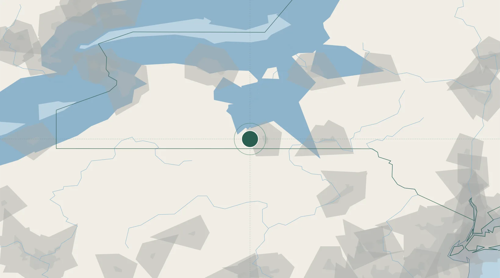
Corning
42.1333°, -77.0500°
10,897
Population
3
Transport functions
Transport Functions
Rail
Road
Airport
Hub Profile
Place type
Populated place
Region
New York
Population
10,897
Time zone
America/New_York
Elevation
284 m
Location
Nearby Logistics Neighbours
Cities
- 1Erwins8 km
- 2Big Flats10 km
- 3Pine Valley20 km
- 4Nichols22 km
- 5Farmington Hill29 km
Airports
Trade Zones
- 1FTZ No. 289 Ontario County86 km
- 2FTZ No. 024 Pittston137 km
- 3FTZ No. 172 Oneida County148 km
- 4FTZ No. 141 Monroe County148 km
- 5FTZ No. 090 Onondaga152 km
DatabookThe Record of Consolidated Knowledge
United States beyond logistics?