UN/LOCODE hub · United States
USAFP
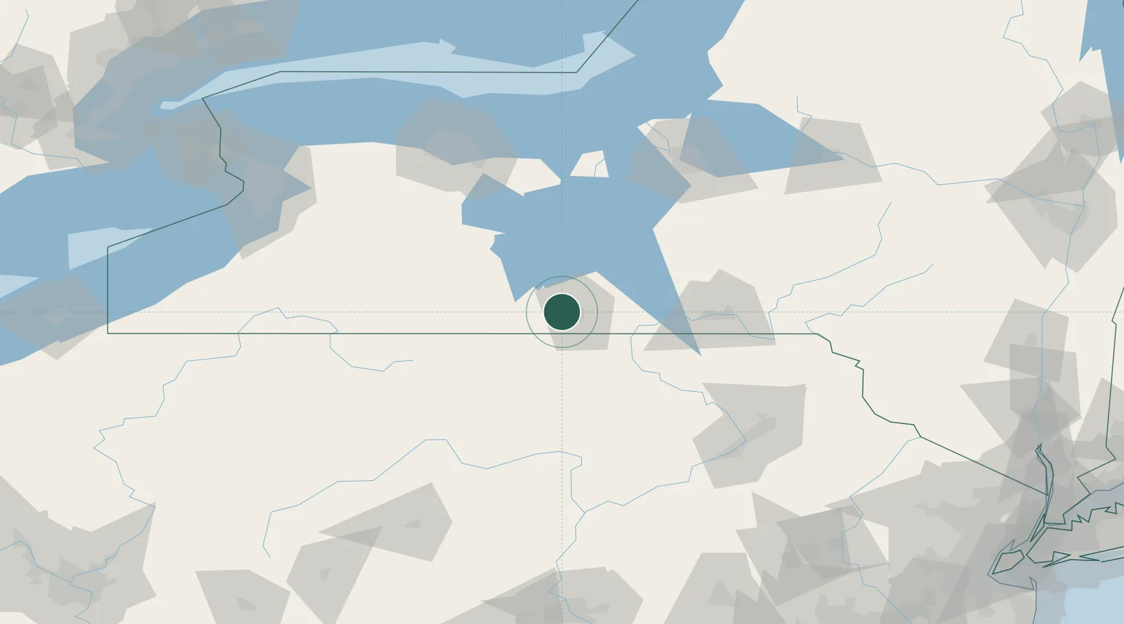
Big Flats
42.1333°, -76.9333°
5,277
Population
3
Transport functions
Transport Functions
Rail
Road
Multimodal
Hub Profile
Place type
Populated place
Region
New York
Population
5,277
Time zone
America/New_York
Elevation
275 m
Location
Nearby Logistics Neighbours
Cities
- 1Corning10 km
- 2Pine Valley12 km
- 3Erwins17 km
- 4Odessa25 km
- 5Nichols30 km
Airports
Trade Zones
- 1FTZ No. 289 Ontario County91 km
- 2FTZ No. 024 Pittston129 km
- 3FTZ No. 172 Oneida County143 km
- 4FTZ No. 090 Onondaga150 km
- 5FTZ No. 141 Monroe County153 km
DatabookThe Record of Consolidated Knowledge
United States beyond logistics?