Transport Functions
Port
Rail
Road
Multimodal
Hub Profile
Place type
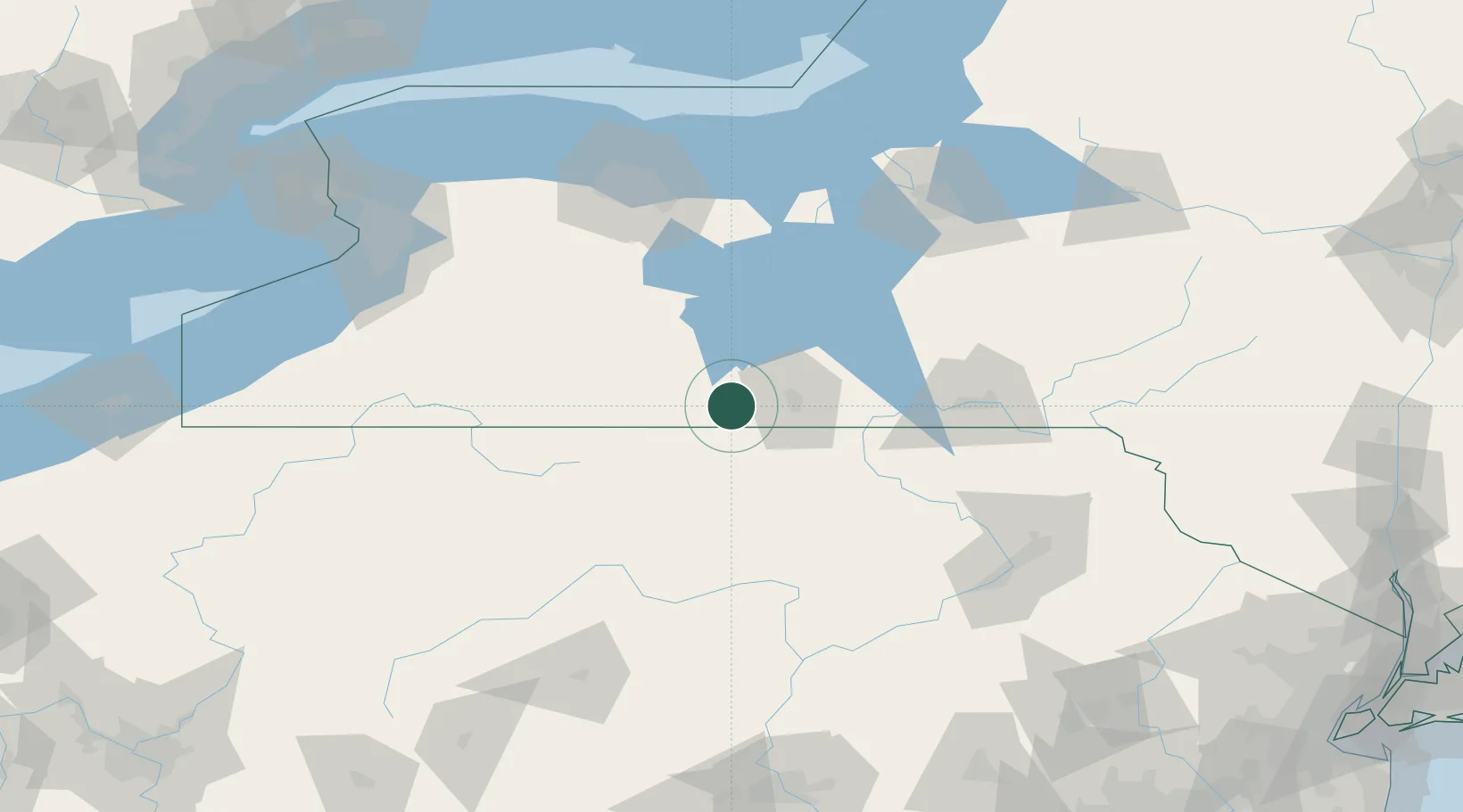
Populated place
Region
New York
Time zone
America/New_York
Elevation
293 m
Location
Nearby Logistics Neighbours
Cities
- 1Corning8 km
- 2Nichols15 km
- 3Big Flats17 km
- 4Farmington Hill22 km
- 5Pine Valley28 km
Airports
Trade Zones
- 1FTZ No. 289 Ontario County86 km
- 2FTZ No. 024 Pittston140 km
- 3FTZ No. 141 Monroe County148 km
- 4FTZ No. 254 Jefferson County153 km
- 5FTZ No. 172 Oneida County155 km
DatabookThe Record of Consolidated Knowledge
United States beyond logistics?