UN/LOCODE hub · United States
USNT3
Nicetown
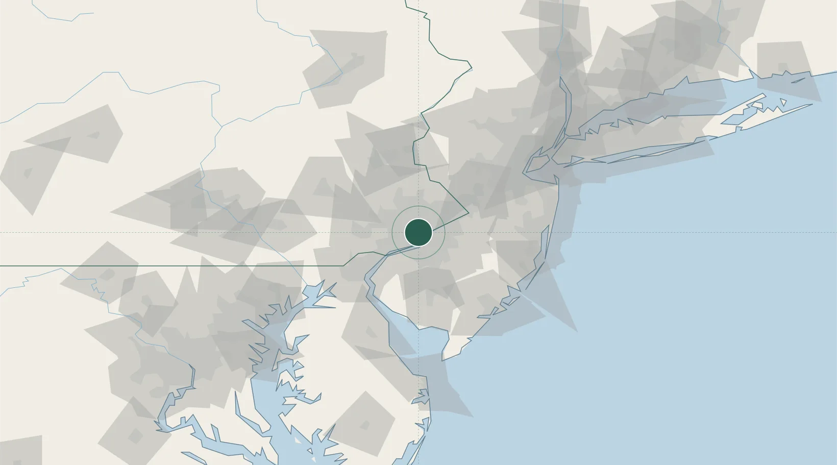
40.0000°, -75.1500°
3,690
Population
1
Transport functions
Transport Functions
Multimodal
Hub Profile
Place type
Urban district
Region
Pennsylvania
Population
3,690
Time zone
America/New_York
Elevation
39 m
Location
Nearby Logistics Neighbours
Cities
- 1Port Richmond5 km
- 2Manayunk6 km
- 3Philadelphia7 km
- 4Bala-Cynwyd7 km
- 5Elkins Park8 km
Ports
- 1Philadelphia6 km
- 2Camden6 km
- 3Gloucester11 km
- 4Paulsboro19 km
- 5Chester24 km
Airports
Trade Zones
DatabookThe Record of Consolidated Knowledge
United States beyond logistics?