Transport Functions
Port
Rail
Road
Multimodal
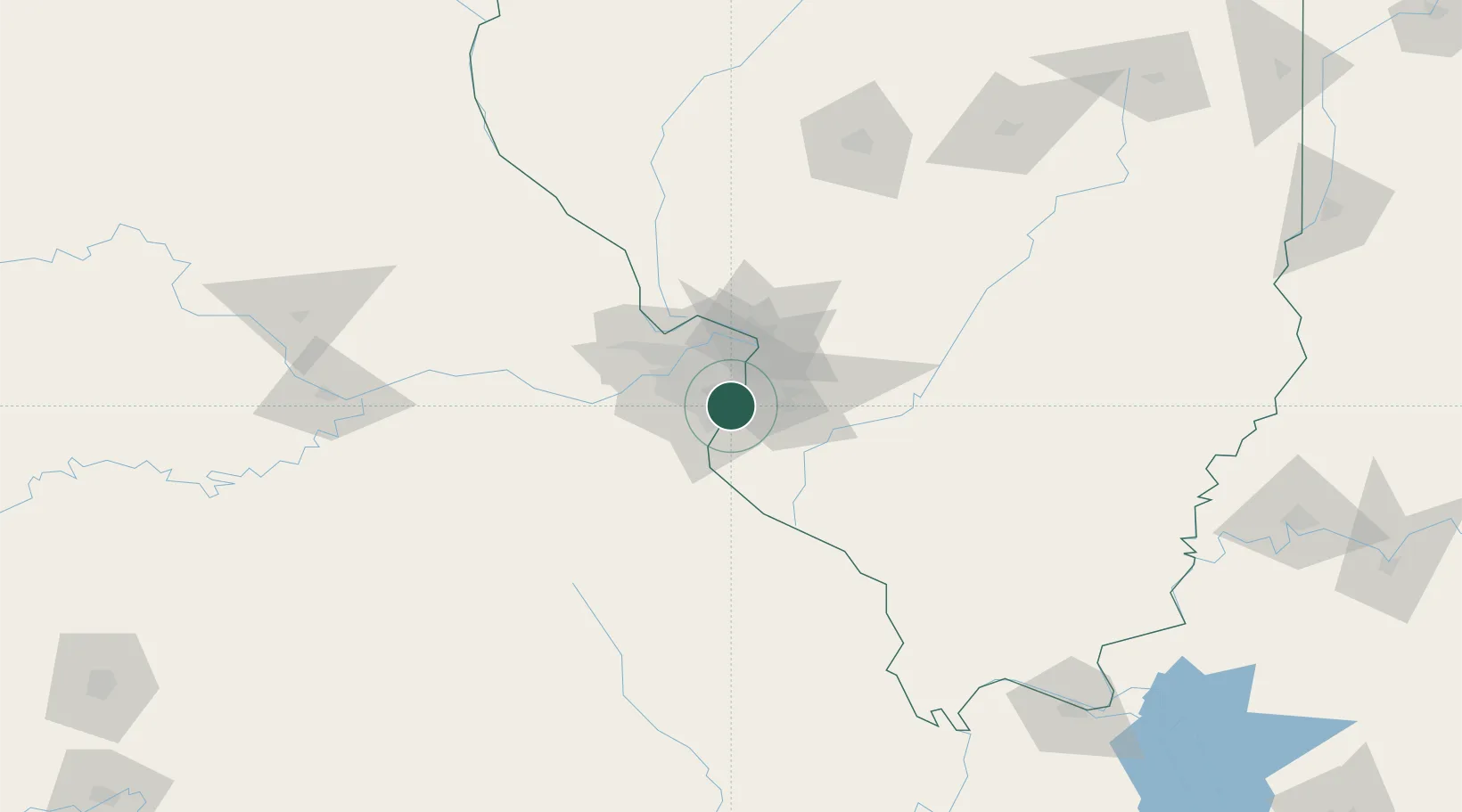
Hub Profile
Place type
Populated place
Region
Missouri
Population
16,645
Time zone
America/Chicago
Elevation
144 m
Location
Nearby Logistics Neighbours
Ports
- 1Port Of Memphis386 km
- 2Indiana Harbor424 km
- 3Gary424 km
- 4Calumet Harbor426 km
- 5Chicago436 km
Airports
Trade Zones
- 1FTZ No. 031 Granite City24 km
- 2FTZ No. 102 St. Louis County40 km
- 3FTZ No. 245 Decatur180 km
- 4FTZ No. 294 Western Kentucky220 km
- 5FTZ No. 177 Evansville239 km
DatabookThe Record of Consolidated Knowledge
United States beyond logistics?