Transport Functions
Rail
Road
Multimodal
Hub Profile
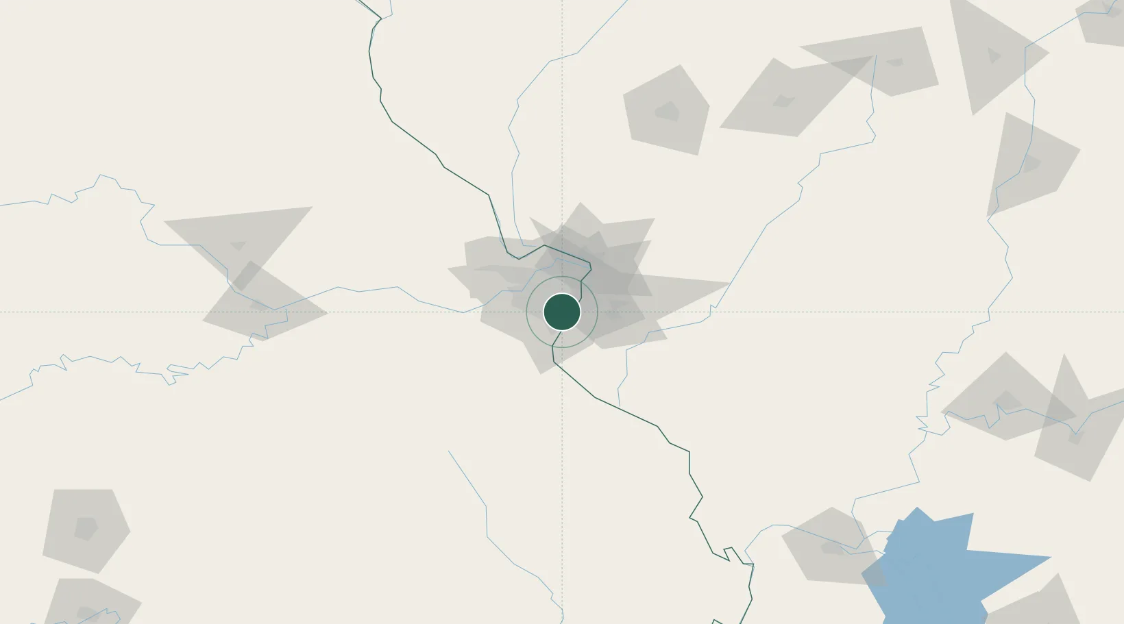
Place type
Populated place
Region
Missouri
Population
20,307
Time zone
America/Chicago
Elevation
188 m
Location
Nearby Logistics Neighbours
Ports
- 1Port Of Memphis388 km
- 2Indiana Harbor425 km
- 3Gary425 km
- 4Calumet Harbor427 km
- 5Chicago437 km
Airports
Trade Zones
- 1FTZ No. 031 Granite City23 km
- 2FTZ No. 102 St. Louis County36 km
- 3FTZ No. 245 Decatur181 km
- 4FTZ No. 294 Western Kentucky225 km
- 5FTZ No. 177 Evansville244 km
DatabookThe Record of Consolidated Knowledge
United States beyond logistics?