UN/LOCODE hub · United States
USCJD
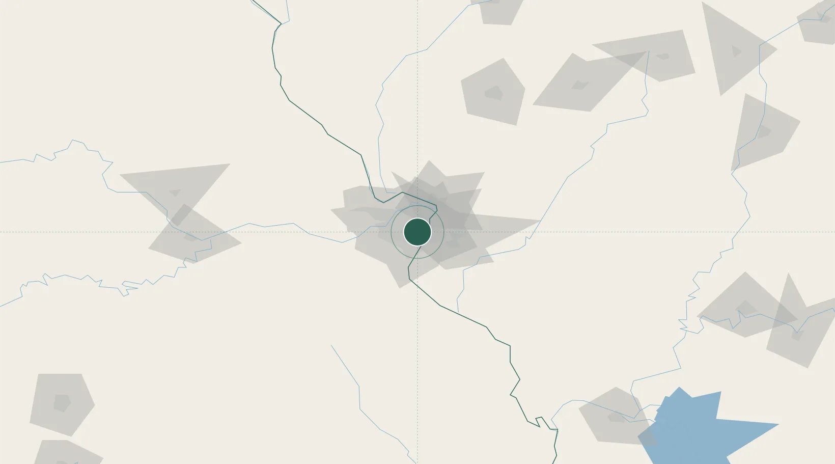
Clayton
38.6333°, -90.3000°
15,884
Population
2
Transport functions
Transport Functions
Road
Multimodal
Hub Profile
Place type
Provincial seat
Region
Missouri
Population
15,884
Time zone
America/Chicago
Elevation
173 m
Location
Nearby Logistics Neighbours
Ports
- 1Port Of Memphis397 km
- 2Indiana Harbor416 km
- 3Gary417 km
- 4Calumet Harbor418 km
- 5Chicago428 km
Airports
Trade Zones
- 1FTZ No. 031 Granite City15 km
- 2FTZ No. 102 St. Louis County35 km
- 3FTZ No. 245 Decatur173 km
- 4FTZ No. 294 Western Kentucky230 km
- 5FTZ No. 114 Peoria237 km
DatabookThe Record of Consolidated Knowledge
United States beyond logistics?