UN/LOCODE hub · United States
USCL6
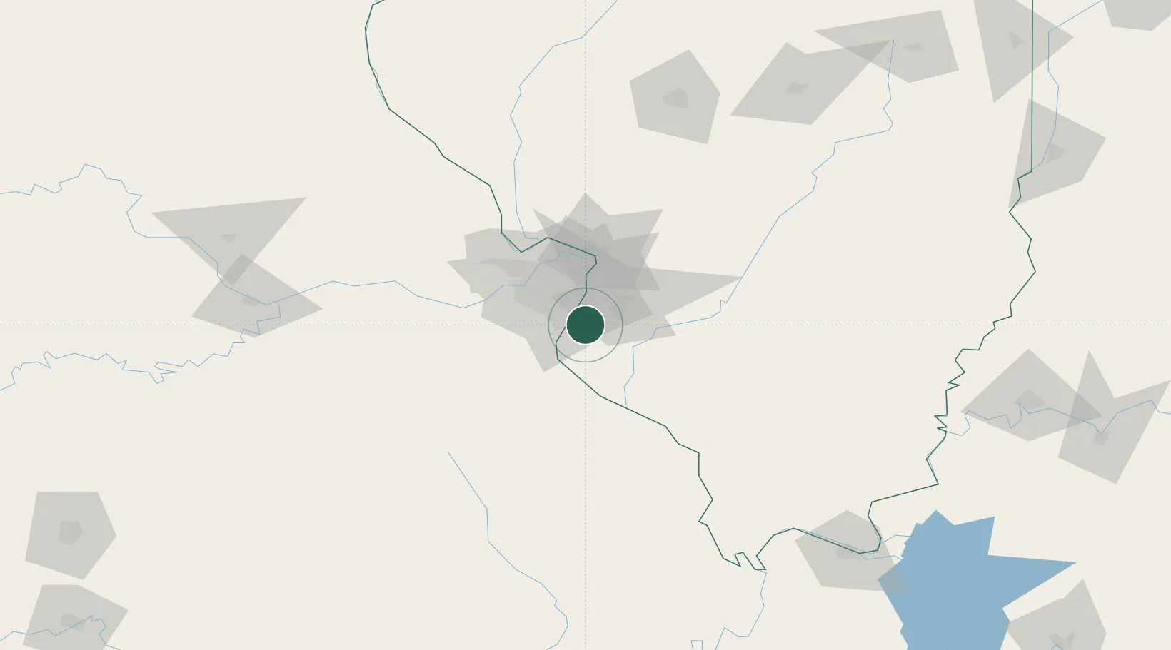
Columbia
38.4435°, -90.2011°
10,191
Population
2
Transport functions
Transport Functions
Rail
Road
Hub Profile
Place type
Populated place
Region
Illinois
Population
10,191
Time zone
America/Chicago
Elevation
153 m
Logistics facilities
1
Location
Nearby Logistics Neighbours
Ports
- 1Port Of Memphis376 km
- 2Indiana Harbor429 km
- 3Gary429 km
- 4Calumet Harbor431 km
- 5Chicago442 km
Airports
Trade Zones
- 1FTZ No. 031 Granite City33 km
- 2FTZ No. 102 St. Louis County49 km
- 3FTZ No. 245 Decatur185 km
- 4FTZ No. 294 Western Kentucky209 km
- 5FTZ No. 177 Evansville231 km
DatabookThe Record of Consolidated Knowledge
United States beyond logistics?