UN/LOCODE hub · United States
USMW2
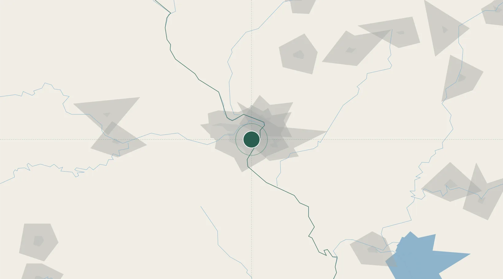
Maplewood
38.6167°, -90.3167°
7,945
Population
2
Transport functions
Transport Functions
Rail
Road
Hub Profile
Place type
Populated place
Region
Missouri
Population
7,945
Time zone
America/Chicago
Elevation
154 m
Location
Nearby Logistics Neighbours
Ports
- 1Port Of Memphis395 km
- 2Indiana Harbor418 km
- 3Gary419 km
- 4Calumet Harbor420 km
- 5Chicago430 km
Airports
Trade Zones
- 1FTZ No. 031 Granite City17 km
- 2FTZ No. 102 St. Louis County34 km
- 3FTZ No. 245 Decatur175 km
- 4FTZ No. 294 Western Kentucky230 km
- 5FTZ No. 114 Peoria239 km
DatabookThe Record of Consolidated Knowledge
United States beyond logistics?