UN/LOCODE hub · United States
USLIZ
Limestone
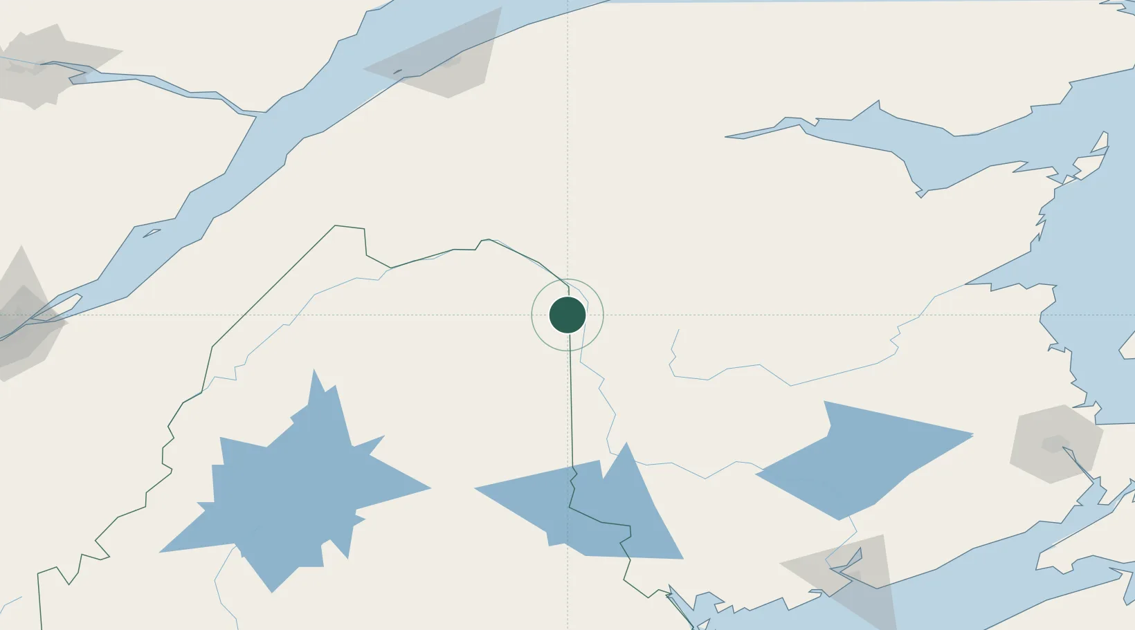
46.9000°, -67.8167°
1,075
Population
4
Transport functions
Transport Functions
Port
Road
Airport
Border Crossing
Hub Profile
Place type
Populated place
Region
Maine
Population
1,075
Time zone
America/New_York
Elevation
181 m
Location
Nearby Logistics Neighbours
Cities
- 1Grand Falls18 km
- 2Grand-Sault18 km
- 3Perth-Andover21 km
- 4Hartland72 km
- 5Jacksonville84 km
Ports
- 1Riviere Du Loup165 km
- 2Dalhousie169 km
- 3Rimouski180 km
- 4Port Bayside Nb202 km
- 5Matane218 km
Airports
Trade Zones
- 1FTZ No. 179 Madawaska58 km
- 2Saint John226 km
- 3FTZ No. 058 Bangor245 km
- 4Québec City FTZ261 km
- 5FTZ No. 186 Waterville300 km
DatabookThe Record of Consolidated Knowledge
United States beyond logistics?