Transport Functions
Rail
Road
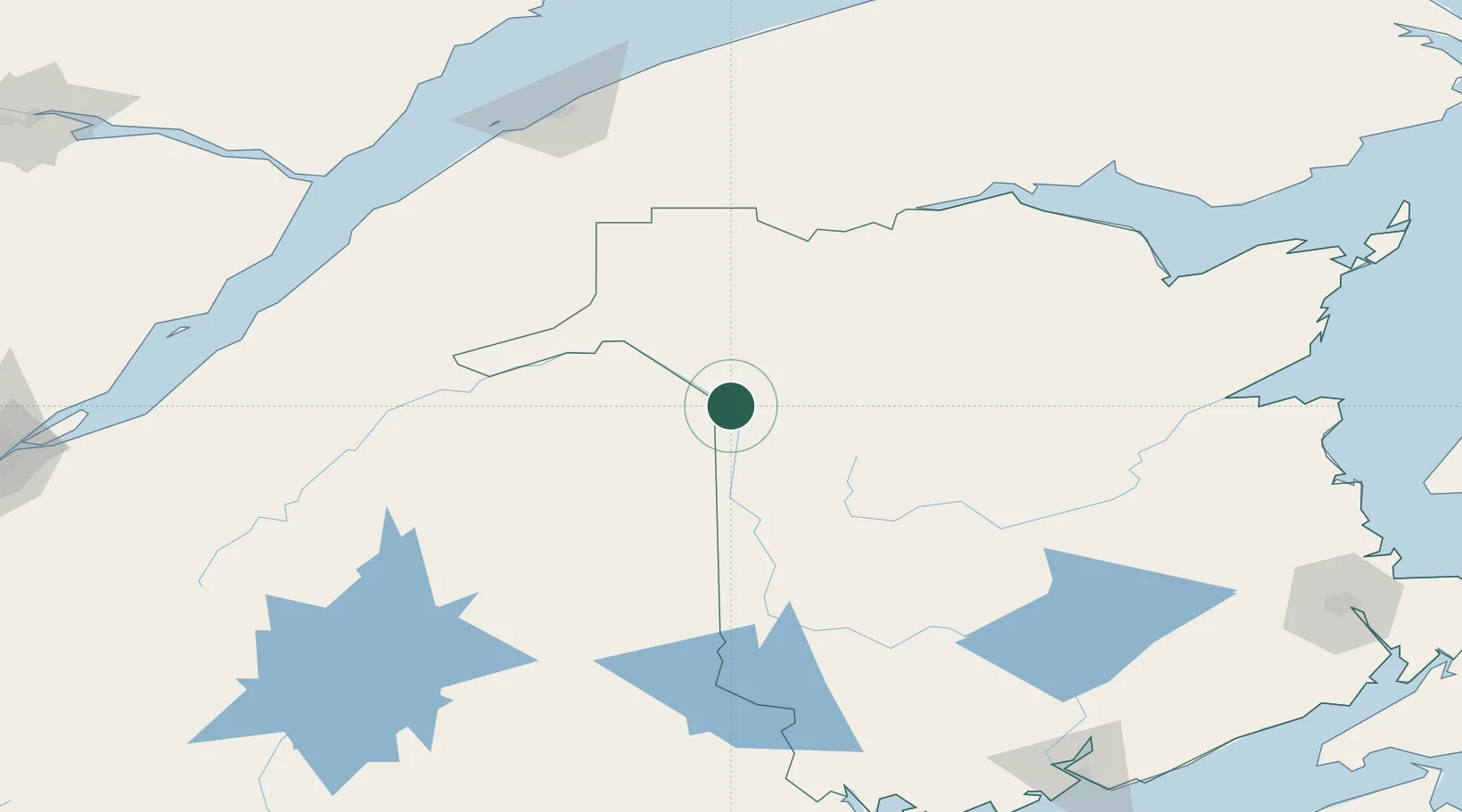
Hub Profile
Place type
Populated place
Region
New Brunswick
Population
5,220
Time zone
America/Moncton
Elevation
157 m
Location
Nearby Logistics Neighbours
Cities
- 1Grand-Sault0 km
- 2Limestone18 km
- 3Perth-Andover35 km
- 4Hartland87 km
- 5Jacksonville99 km
Ports
- 1Dalhousie153 km
- 2Riviere Du Loup160 km
- 3Rimouski166 km
- 4Matane201 km
- 5Port Bayside Nb216 km
Airports
- 1Saint-Léonard Airport14 km
- 2Caribou Municipal Airport29 km
- 3Presque Isle International Airport47 km
- 4Houlton International Airport103 km
- 5Charlo Airport149 km
Trade Zones
- 1FTZ No. 179 Madawaska53 km
- 2Saint John236 km
- 3FTZ No. 058 Bangor263 km
- 4Québec City FTZ268 km
- 5FTZ No. 186 Waterville318 km
DatabookThe Record of Consolidated Knowledge
Canada beyond logistics?