UN/LOCODE hub · United States
USXVN
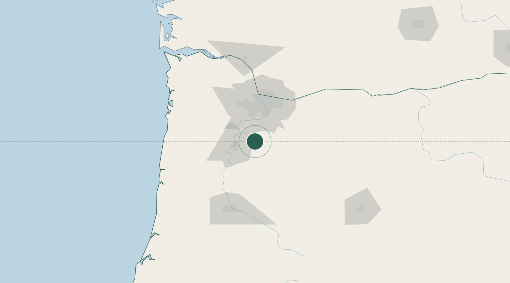
Silverton
45.0000°, -122.7667°
9,753
Population
4
Transport functions
Transport Functions
Port
Rail
Road
Multimodal
Hub Profile
Place type
Populated place
Region
Oregon
Population
9,753
Time zone
America/Los_Angeles
Elevation
78 m
Location
Nearby Logistics Neighbours
Cities
- 1Mount Angel6 km
- 2Keizer20 km
- 3Aumsville20 km
- 4Turner24 km
- 5Donald25 km
Airports
Trade Zones
- 1FTZ No. 045 Portland60 km
- 2FTZ No. 296 Vancouver71 km
- 3FTZ No. 255 Washington County78 km
- 4FTZ No. 120 Cowlitz County126 km
- 5FTZ No. 132 Coos County215 km
DatabookThe Record of Consolidated Knowledge
United States beyond logistics?