Transport Functions
Road
Multimodal
Hub Profile
Place type
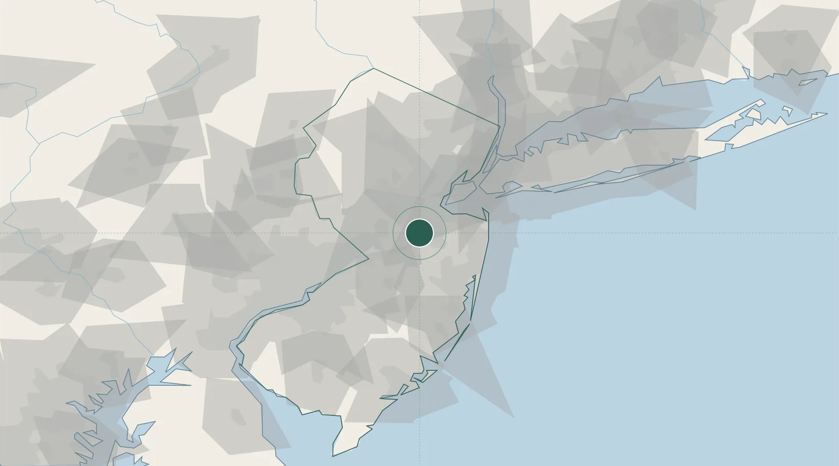
Populated place
Region
New Jersey
Time zone
America/New_York
Elevation
24 m
Logistics facilities
2
Location
Nearby Logistics Neighbours
Cities
- 1Jamesburg3 km
- 2Bradevelt7 km
- 3Bairdsville9 km
- 4Brunswick Gardens9 km
- 5Robertsville11 km
Ports
- 1Sayreville16 km
- 2South Amboy22 km
- 3Perth Amboy23 km
- 4Sewaren29 km
- 5Port Reading31 km
Airports
Trade Zones
DatabookThe Record of Consolidated Knowledge
United States beyond logistics?