UN/LOCODE hub · United States
USJBS
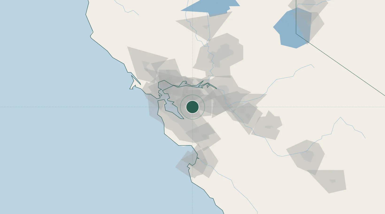
Pleasanton
37.6667°, -121.8833°
79,510
Population
4
Transport functions
Transport Functions
Rail
Road
Airport
Multimodal
Hub Profile
Place type
Populated place
Region
California
Population
79,510
Time zone
America/Los_Angeles
Elevation
106 m
Location
Nearby Logistics Neighbours
Cities
- 1Sunol9 km
- 2Hayward20 km
- 3San Lorenzo21 km
- 4Clayton30 km
- 5Oakland36 km
Ports
- 1Redwood City32 km
- 2Alameda36 km
- 3Antioch40 km
- 4Pittsburg41 km
- 5Berkeley43 km
Airports
Trade Zones
- 1FTZ No. 018 San Jose37 km
- 2FTZ No. 056 Oakland38 km
- 3FTZ No. 003 San Francisco47 km
- 4FTZ No. 231 Stockton58 km
- 5FTZ No. 143 West Sacramento107 km
DatabookThe Record of Consolidated Knowledge
United States beyond logistics?