Transport Functions
Port
Road
Hub Profile
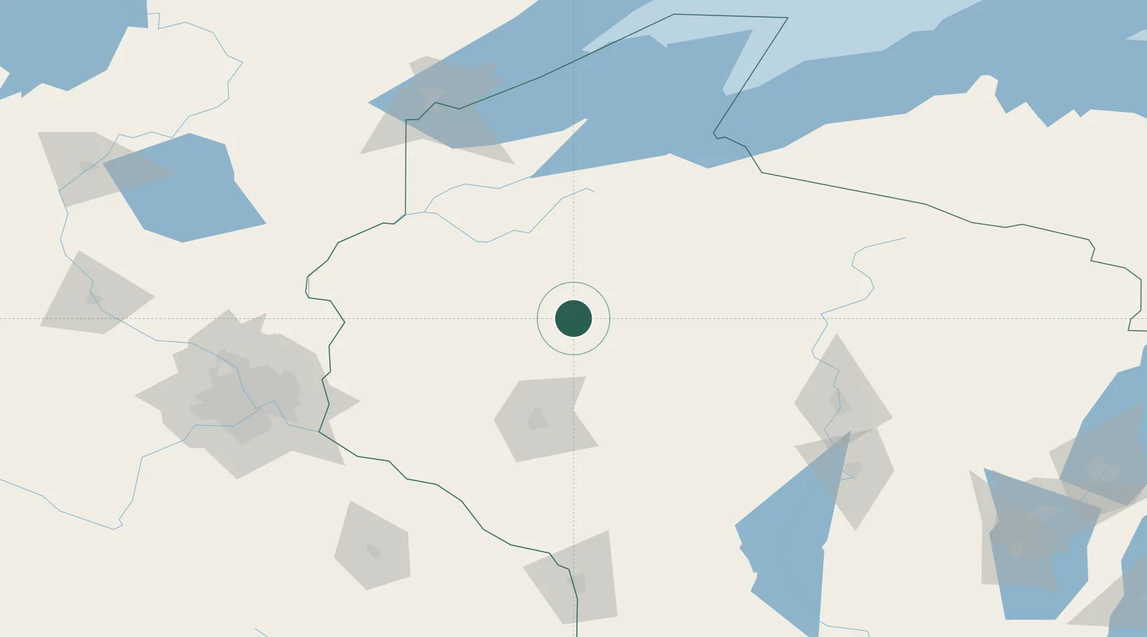
Place type
Populated place
Region
Wisconsin
Population
729
Time zone
America/Chicago
Elevation
337 m
Location
Nearby Logistics Neighbours
Airports
Trade Zones
- 1FTZ No. 119 Minneapolis-St. Paul163 km
- 2FTZ No. 051 Duluth165 km
- 3FTZ No. 167 Brown County259 km
- 4FTZ No. 266 Dane County293 km
- 5FTZ No. 271 Jo-Daviess and Carroll Counties358 km
DatabookThe Record of Consolidated Knowledge
United States beyond logistics?