Transport Functions
Port
Road
Hub Profile
Place type
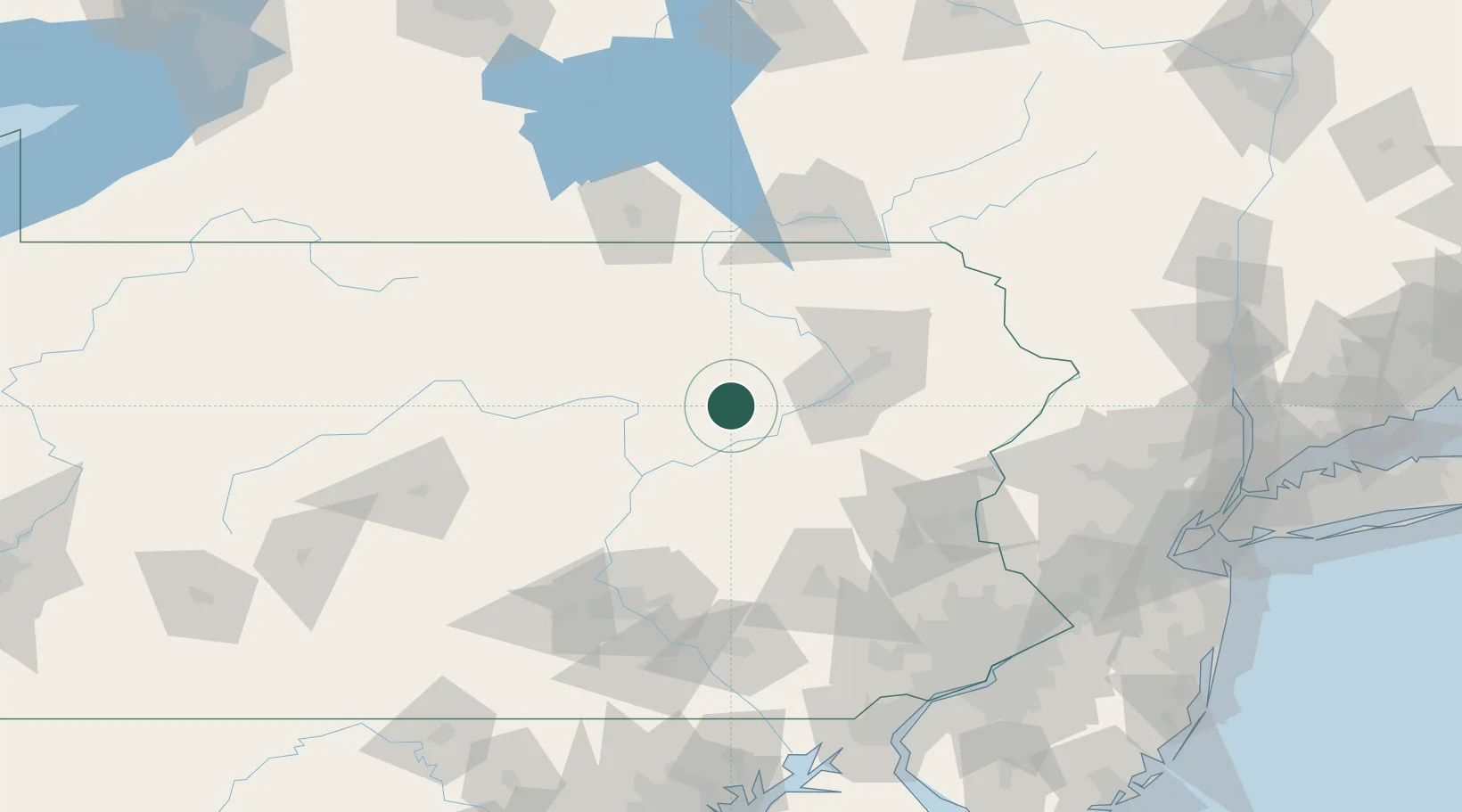
Populated place
Region
Pennsylvania
Time zone
America/New_York
Elevation
250 m
Location
Nearby Logistics Neighbours
Cities
- 1Orangeville15 km
- 2Hughesville30 km
- 3Nanticoke31 km
- 4Tomhicken37 km
- 5Ashley39 km
Ports
- 1Chester175 km
- 2Marcus Hook175 km
- 3Philadelphia175 km
- 4Camden175 km
- 5Trenton176 km
Airports
Trade Zones
DatabookThe Record of Consolidated Knowledge
United States beyond logistics?