UN/LOCODE hub · United States
USEUR

Eureka, Saint Louis

38.6893°, -90.2117°
3
Transport functions

Transport Functions

Rail
Road
Multimodal
UN/LOCODE

Hub Profile

Region
MO
GeoNames
Logistics facilities
1
UN/LOCODE

Location

Location of USEUR
Natural Earth 10m (public domain) · MO · USEUR · 38.69, -90.21GoogleOSMYandex

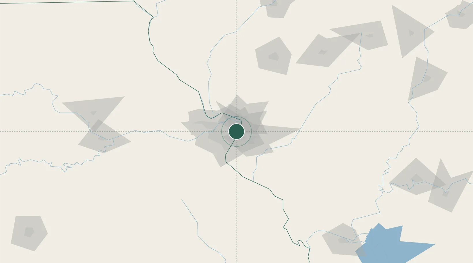
Nearby Logistics Neighbours

Cities
  1. 1Saint Louis4 km
  2. 2Jennings5 km
  3. 3Bellefontaine Neighbors5 km
  4. 4Pagedale8 km
  5. 5Granite City9 km
Nearest neighbours — logibook spatial index (haversine) over the source coordinates
Ports
  1. 1Port Of Memphis403 km
  2. 2Indiana Harbor407 km
  3. 3Gary407 km
  4. 4Calumet Harbor409 km
  5. 5Chicago419 km
Nearest neighbours — logibook spatial index (haversine) over the source coordinates
Airports
  1. 1St. Louis Lambert International Airport15 km
  2. 2St Louis Regional Airport27 km
  3. 3Scott AFB/Midamerica Airport36 km
  4. 4Spirit of St Louis Airport38 km
  5. 5Southern Illinois Airport132 km
Nearest neighbours — logibook spatial index (haversine) over the source coordinates
Trade Zones
  1. 1FTZ No. 031 Granite City6 km
  2. 2FTZ No. 102 St. Louis County43 km
  3. 3FTZ No. 245 Decatur163 km
  4. 4FTZ No. 114 Peoria229 km
  5. 5FTZ No. 294 Western Kentucky230 km
Nearest neighbours — logibook spatial index (haversine) over the source coordinates
DatabookThe Record of Consolidated Knowledge
United States beyond logistics?
Browse databook

All Sources

LocationsUN/LOCODE
UN/LOCODE — free
Portsthe NGA World Port Index
Public domain (US gov)
AirportsOurAirports
Public domain
Trade Zonesthe World Bank SEZ database
CC BY 4.0
Trade ZonesOpen Zone Map
CC BY
← United States locations