UN/LOCODE hub · United States
USPPS
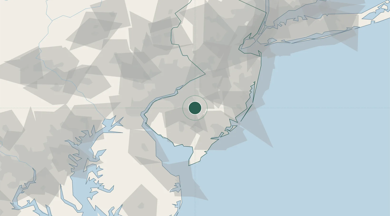
Pennsauken
39.7054°, -74.8701°
36,332
Population
2
Transport functions
Transport Functions
Port
Road
Hub Profile
Place type
Populated place
Region
New Jersey
Population
36,332
Time zone
America/New_York
Elevation
19 m
Logistics facilities
1
Location
Nearby Logistics Neighbours
Cities
- 1Blue Anchor3 km
- 2Folsom12 km
- 3Erial13 km
- 4Clementon14 km
- 5Indian Mills15 km
Ports
- 1Gloucester31 km
- 2Philadelphia35 km
- 3Camden35 km
- 4Paulsboro36 km
- 5Burlington42 km
Airports
Trade Zones
- 1FTZ No. 142 Salem Millville41 km
- 2FTZ No. 035 Philadelphia47 km
- 3FTZ No. 099 Wilmington58 km
- 4FTZ No. 200 Mercer County64 km
- 5FTZ No. 235 Lakewood68 km
DatabookThe Record of Consolidated Knowledge
United States beyond logistics?