Transport Functions
Port
Road
Hub Profile
Place type
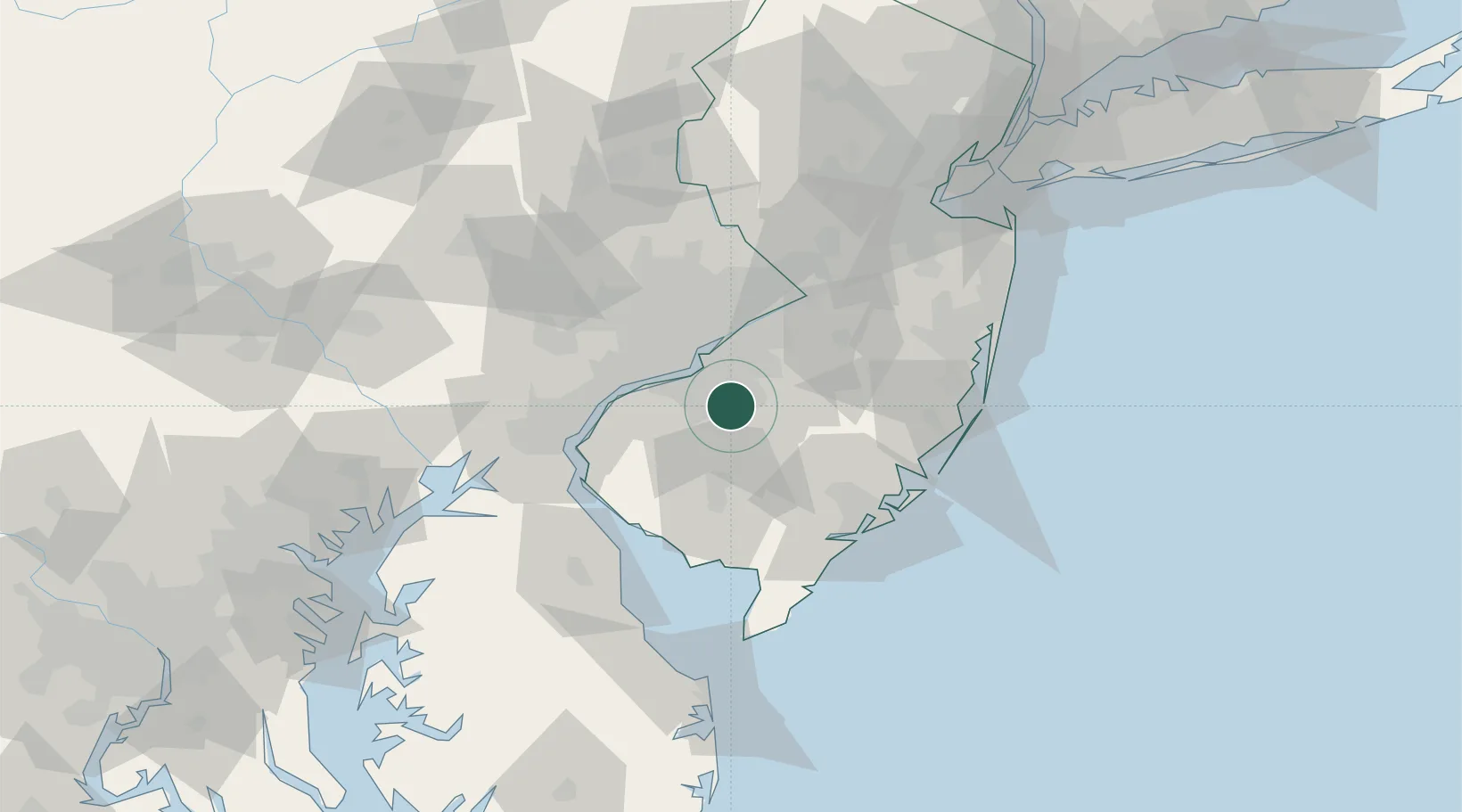
Populated place
Region
New Jersey
Time zone
America/New_York
Elevation
55 m
Location
Nearby Logistics Neighbours
Cities
- 1Clementon4 km
- 2Runnemede11 km
- 3Pitman11 km
- 4Pennsauken13 km
- 5Wenonah13 km
Ports
- 1Gloucester19 km
- 2Paulsboro23 km
- 3Philadelphia23 km
- 4Camden23 km
- 5Chester31 km
Airports
Trade Zones
- 1FTZ No. 035 Philadelphia34 km
- 2FTZ No. 142 Salem Millville43 km
- 3FTZ No. 099 Wilmington47 km
- 4FTZ No. 200 Mercer County59 km
- 5FTZ No. 235 Lakewood73 km
DatabookThe Record of Consolidated Knowledge
United States beyond logistics?