Transport Functions
Road
Multimodal
Hub Profile
Place type
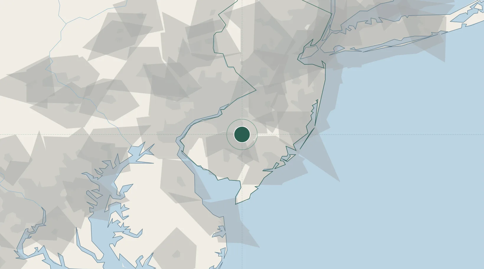
Populated place
Region
New Jersey
Time zone
America/New_York
Elevation
42 m
Location
Nearby Logistics Neighbours
Cities
- 1Pennsauken3 km
- 2Folsom10 km
- 3Erial14 km
- 4Clementon16 km
- 5Indian Mills17 km
Ports
- 1Gloucester32 km
- 2Paulsboro36 km
- 3Philadelphia37 km
- 4Camden37 km
- 5Chester44 km
Airports
Trade Zones
- 1FTZ No. 142 Salem Millville38 km
- 2FTZ No. 035 Philadelphia48 km
- 3FTZ No. 099 Wilmington57 km
- 4FTZ No. 200 Mercer County66 km
- 5FTZ No. 235 Lakewood70 km
DatabookThe Record of Consolidated Knowledge
United States beyond logistics?