UN/LOCODE hub · United States
USYIE
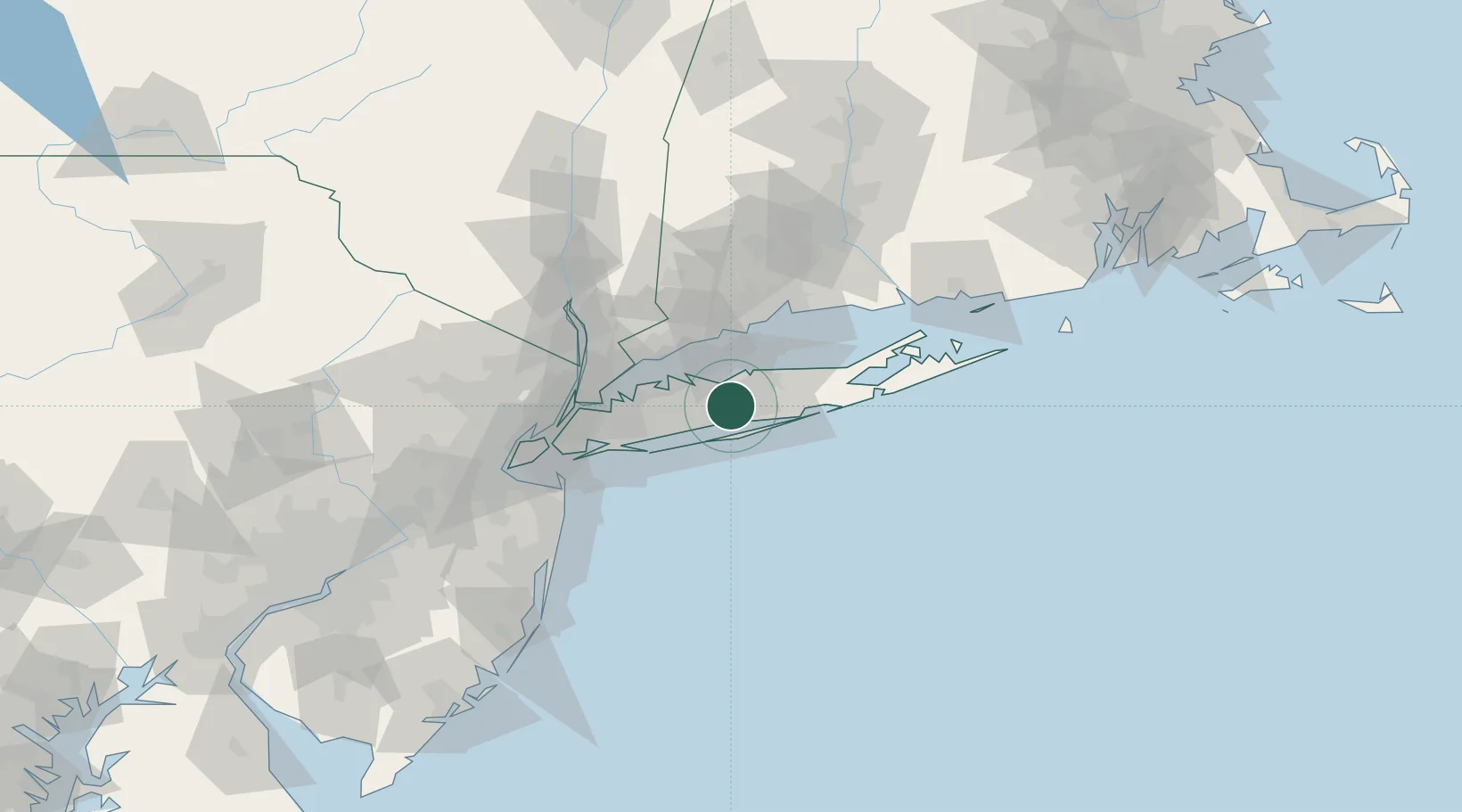
Islandia
40.8000°, -73.1833°
3,382
Population
3
Transport functions
Transport Functions
Rail
Road
Multimodal
Hub Profile
Place type
Populated place
Region
New York
Population
3,382
Time zone
America/New_York
Elevation
20 m
Location
Nearby Logistics Neighbours
Cities
- 1Edgewood, Suffolk6 km
- 2West Sayville9 km
- 3Holbrook10 km
- 4West Sayville10 km
- 5North Bay Shore10 km
Ports
- 1Patchogue15 km
- 2Port Jefferson19 km
- 3Southport38 km
- 4Norwalk39 km
- 5Stamford40 km
Airports
Trade Zones
DatabookThe Record of Consolidated Knowledge
United States beyond logistics?