UN/LOCODE hub · United States
USYFQ
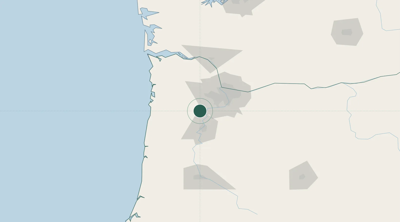
Lafayette
45.2333°, -123.1000°
3,969
Population
2
Transport functions
Transport Functions
Port
Road
Hub Profile
Place type
Populated place
Region
Oregon
Population
3,969
Time zone
America/Los_Angeles
Elevation
52 m
Location
Nearby Logistics Neighbours
Cities
- 1Carlton9 km
- 2Donald21 km
- 3Keizer27 km
- 4Cornelius32 km
- 5Mount Angel32 km
Airports
Trade Zones
- 1FTZ No. 045 Portland42 km
- 2FTZ No. 255 Washington County42 km
- 3FTZ No. 296 Vancouver55 km
- 4FTZ No. 120 Cowlitz County99 km
- 5FTZ No. 216 Olympia201 km
DatabookThe Record of Consolidated Knowledge
United States beyond logistics?