Transport Functions
Road
Multimodal
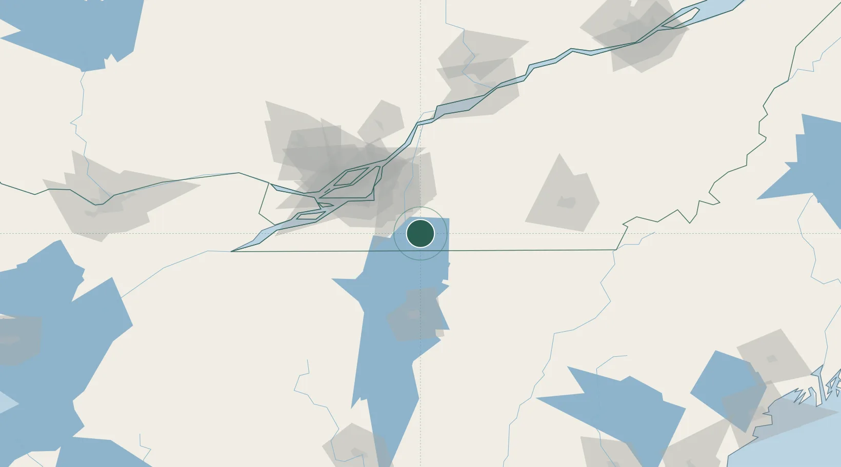
Hub Profile
Place type
Populated place
Region
Quebec
Time zone
America/Toronto
Elevation
36 m
Location
Nearby Logistics Neighbours
Cities
- 1Stanbridge Station14 km
- 2Philipsburg14 km
- 3Saint-Armand17 km
- 4Saint-Paul-de-l'Île-aux-Noix17 km
- 5Farnham19 km
Ports
- 1Montreal52 km
- 2Beauharnois62 km
- 3Vaudreuil76 km
- 4Contrecour82 km
- 5Oka Sur Le Lac82 km
Airports
Trade Zones
- 1Greater Montreal Free Zone Center52 km
- 2FTZ No. 118 Ogdensburg193 km
- 3Québec City FTZ237 km
- 4FTZ No. 109 Watertown254 km
- 5FTZ No. 268 Brattleboro258 km
DatabookThe Record of Consolidated Knowledge
Canada beyond logistics?