Transport Functions
Road
Multimodal
Hub Profile
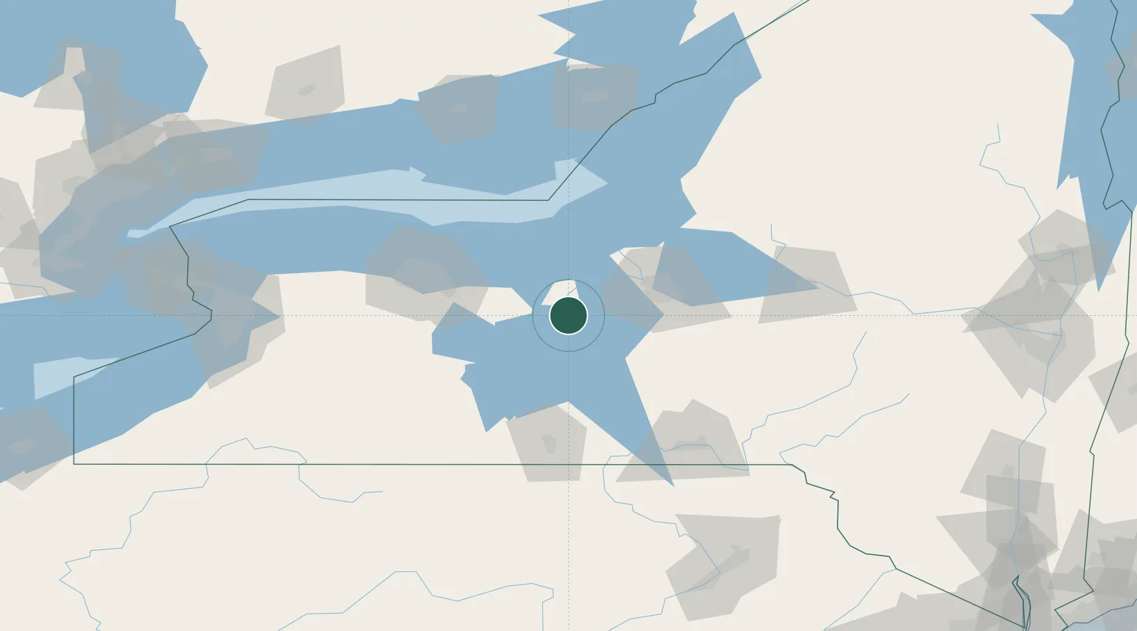
Place type
Populated place
Region
New York
Population
527
Time zone
America/New_York
Elevation
147 m
Location
Nearby Logistics Neighbours
Cities
- 1Centerport, Gayuga15 km
- 2Weedsport19 km
- 3Skaneateles25 km
- 4Elbridge27 km
- 5Phelps27 km
Airports
Trade Zones
- 1FTZ No. 090 Onondaga61 km
- 2FTZ No. 172 Oneida County66 km
- 3FTZ No. 289 Ontario County70 km
- 4FTZ No. 141 Monroe County109 km
- 5FTZ No. 109 Watertown136 km
DatabookThe Record of Consolidated Knowledge
United States beyond logistics?