UN/LOCODE hub · United States
USMS7
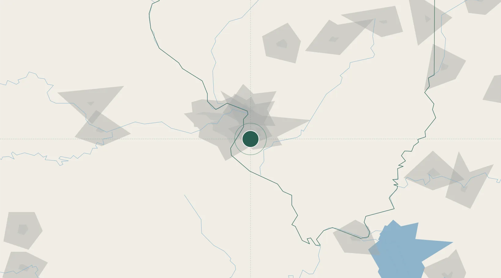
Millstadt
38.4667°, -90.1000°
3,896
Population
2
Transport functions
Transport Functions
Road
Multimodal
Hub Profile
Place type
Populated place
Region
Illinois
Population
3,896
Time zone
America/Chicago
Elevation
188 m
Location
Nearby Logistics Neighbours
Cities
- 1Stookey4 km
- 2Columbia9 km
- 3Dupo10 km
- 4Swansea13 km
- 5Centreville13 km
Ports
- 1Port Of Memphis378 km
- 2Indiana Harbor422 km
- 3Gary422 km
- 4Calumet Harbor425 km
- 5Chicago435 km
Airports
Trade Zones
- 1FTZ No. 031 Granite City32 km
- 2FTZ No. 102 St. Louis County56 km
- 3FTZ No. 245 Decatur179 km
- 4FTZ No. 294 Western Kentucky205 km
- 5FTZ No. 177 Evansville223 km
DatabookThe Record of Consolidated Knowledge
United States beyond logistics?