Transport Functions
Rail
Road
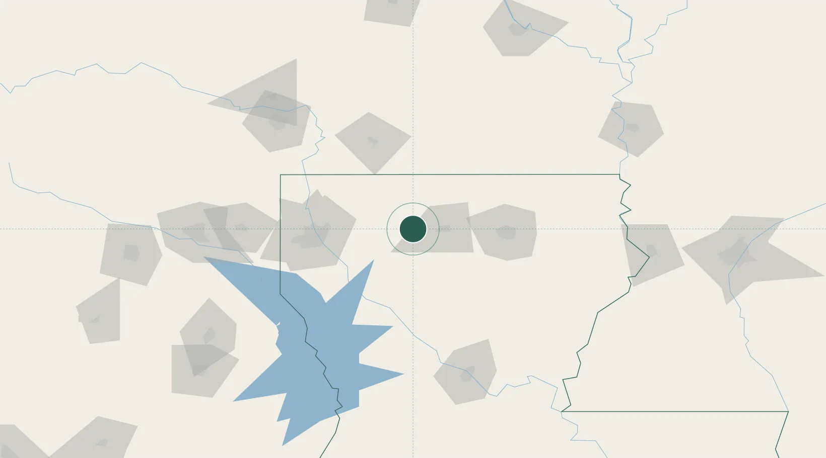
Hub Profile
Place type
Provincial seat
Region
Louisiana
Population
2,861
Time zone
America/Chicago
Elevation
117 m
Location
Nearby Logistics Neighbours
Ports
- 1Lake Charles261 km
- 2Orange285 km
- 3Baton Rouge286 km
- 4Beaumont296 km
- 5Port Neches300 km
Airports
Trade Zones
- 1FTZ No. 145 Shreveport98 km
- 2FTZ No. 146 Lawrence County98 km
- 3FTZ No. 234 Gregg County188 km
- 4FTZ No. 258 Bowie County194 km
- 5FTZ No. 158 Vicksburg Jackson201 km
DatabookThe Record of Consolidated Knowledge
United States beyond logistics?