UN/LOCODE hub · United States
USXKW
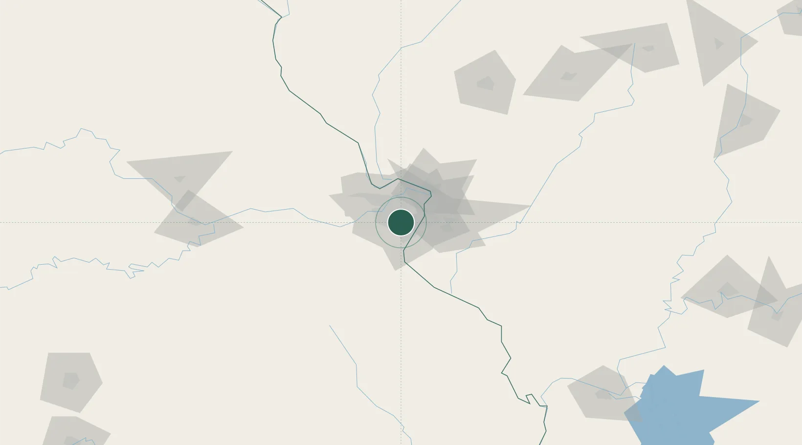
Kirkwood
38.5833°, -90.4000°
27,750
Population
4
Transport functions
Transport Functions
Port
Rail
Road
Multimodal
Hub Profile
Place type
Populated place
Region
Missouri
Population
27,750
Time zone
America/Chicago
Elevation
201 m
Location
Nearby Logistics Neighbours
Cities
- 1Frontenac6 km
- 2Olivette8 km
- 3Maplewood8 km
- 4Affton8 km
- 5Valley Park10 km
Ports
- 1Port Of Memphis392 km
- 2Indiana Harbor426 km
- 3Gary426 km
- 4Calumet Harbor427 km
- 5Chicago437 km
Airports
Trade Zones
- 1FTZ No. 031 Granite City24 km
- 2FTZ No. 102 St. Louis County28 km
- 3FTZ No. 245 Decatur183 km
- 4FTZ No. 294 Western Kentucky232 km
- 5FTZ No. 114 Peoria245 km
DatabookThe Record of Consolidated Knowledge
United States beyond logistics?