UN/LOCODE hub · Ukraine
UAZUK

Ichnya

50.8667°, 32.3833°
1
Transport functions

Transport Functions

Multimodal
UN/LOCODE

Hub Profile

Region
74
GeoNames

Location

Location of UAZUK
Natural Earth 10m (public domain) · 74 · UAZUK · 50.87, 32.38GoogleOSMYandex

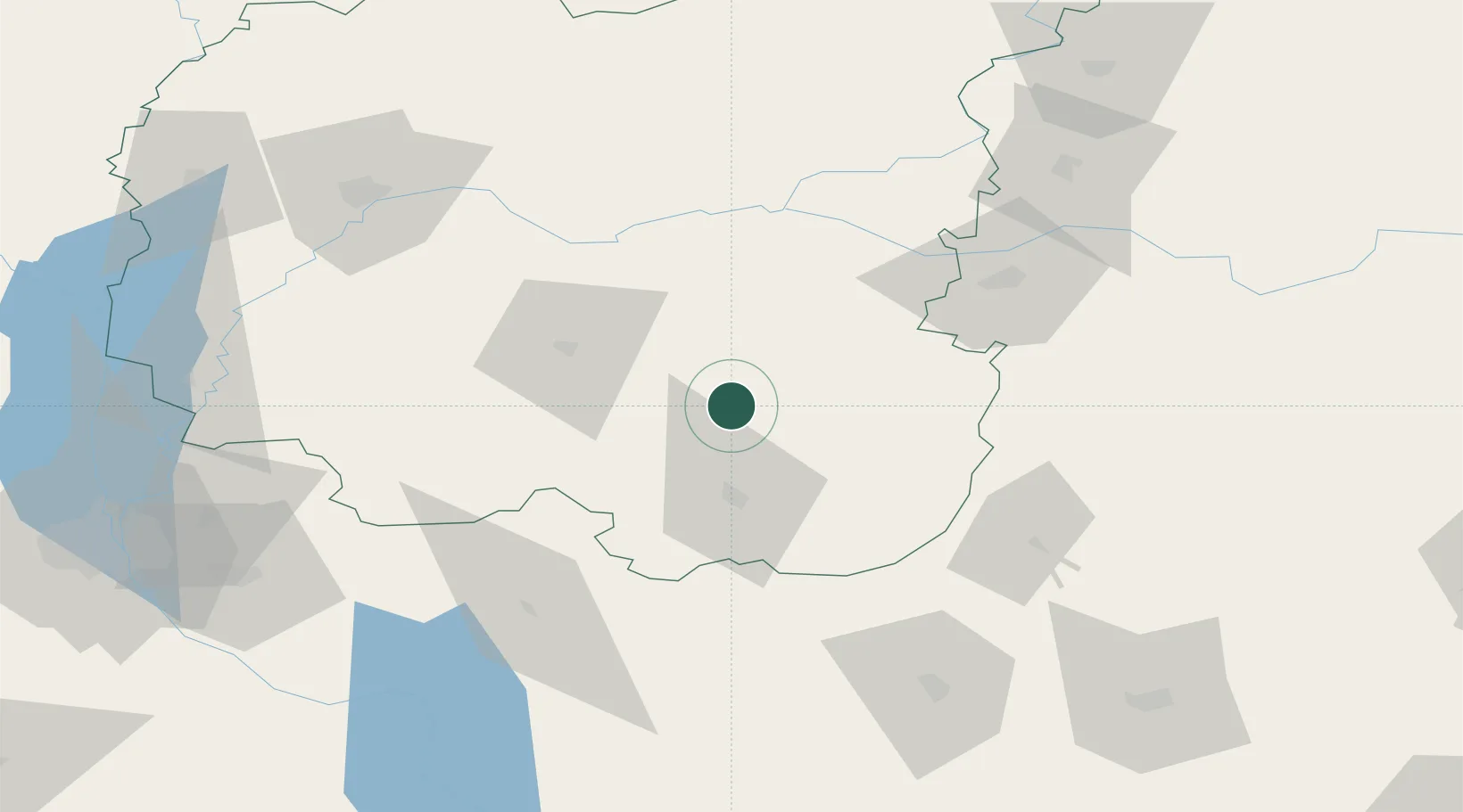
Nearby Logistics Neighbours

Cities
  1. 1Pryluky30 km
  2. 2Nizhyn41 km
  3. 3Konotop70 km
  4. 4Bobrovitsa73 km
  5. 5Mena73 km
Nearest neighbours — logibook spatial index (haversine) over the source coordinates
Ports
  1. 1Mykolayiv437 km
  2. 2Port Oktyabrsk450 km
  3. 3Kherson473 km
  4. 4Yuzhnyy485 km
  5. 5Odesa502 km
Nearest neighbours — logibook spatial index (haversine) over the source coordinates
Airports
  1. 1Nizhyn Air Base44 km
  2. 2Boryspil International Airport120 km
  3. 3Ihor Sikorsky Kyiv International Airport (Zhuliany)146 km
  4. 4Hostomel Airport157 km
  5. 5Cherkasy International Airport164 km
Nearest neighbours — logibook spatial index (haversine) over the source coordinates
Trade Zones
  1. 1Slavutych Special Economic Zone135 km
  2. 2Free Economic Zone Gomel-Raton201 km
  3. 3North Caucasus Resort Cluster330 km
  4. 4Free Economic Zone Mogiliov332 km
  5. 5Lyudinovsky Special Economic Zone - Industrial359 km
Nearest neighbours — logibook spatial index (haversine) over the source coordinates
DatabookThe Record of Consolidated Knowledge
Ukraine beyond logistics?
Browse databook

All Sources

LocationsUN/LOCODE
UN/LOCODE — free
Portsthe NGA World Port Index
Public domain (US gov)
AirportsOurAirports
Public domain
Trade Zonesthe World Bank SEZ database
CC BY 4.0
Trade ZonesOpen Zone Map
CC BY
← Ukraine locations