Transport Functions
Rail
Road
Hub Profile
Place type
Provincial seat
Region
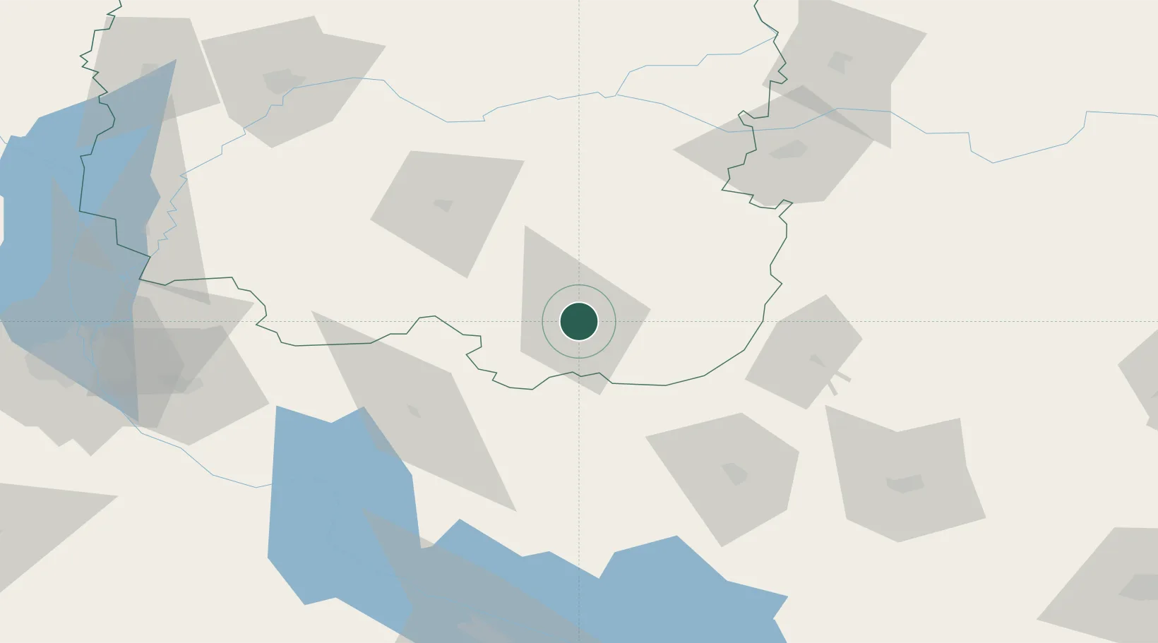
Chernihiv
Population
52,553
Time zone
Europe/Kyiv
Elevation
127 m
Location
Nearby Logistics Neighbours
Cities
- 1Ichnya30 km
- 2Nizhyn62 km
- 3Bobrovitsa75 km
- 4Lubny78 km
- 5Konotop90 km
Ports
- 1Mykolayiv407 km
- 2Port Oktyabrsk420 km
- 3Kherson443 km
- 4Yuzhnyy456 km
- 5Odesa474 km
Airports
Trade Zones
DatabookThe Record of Consolidated Knowledge
Ukraine beyond logistics?