UN/LOCODE hub · Ukraine
UAODS
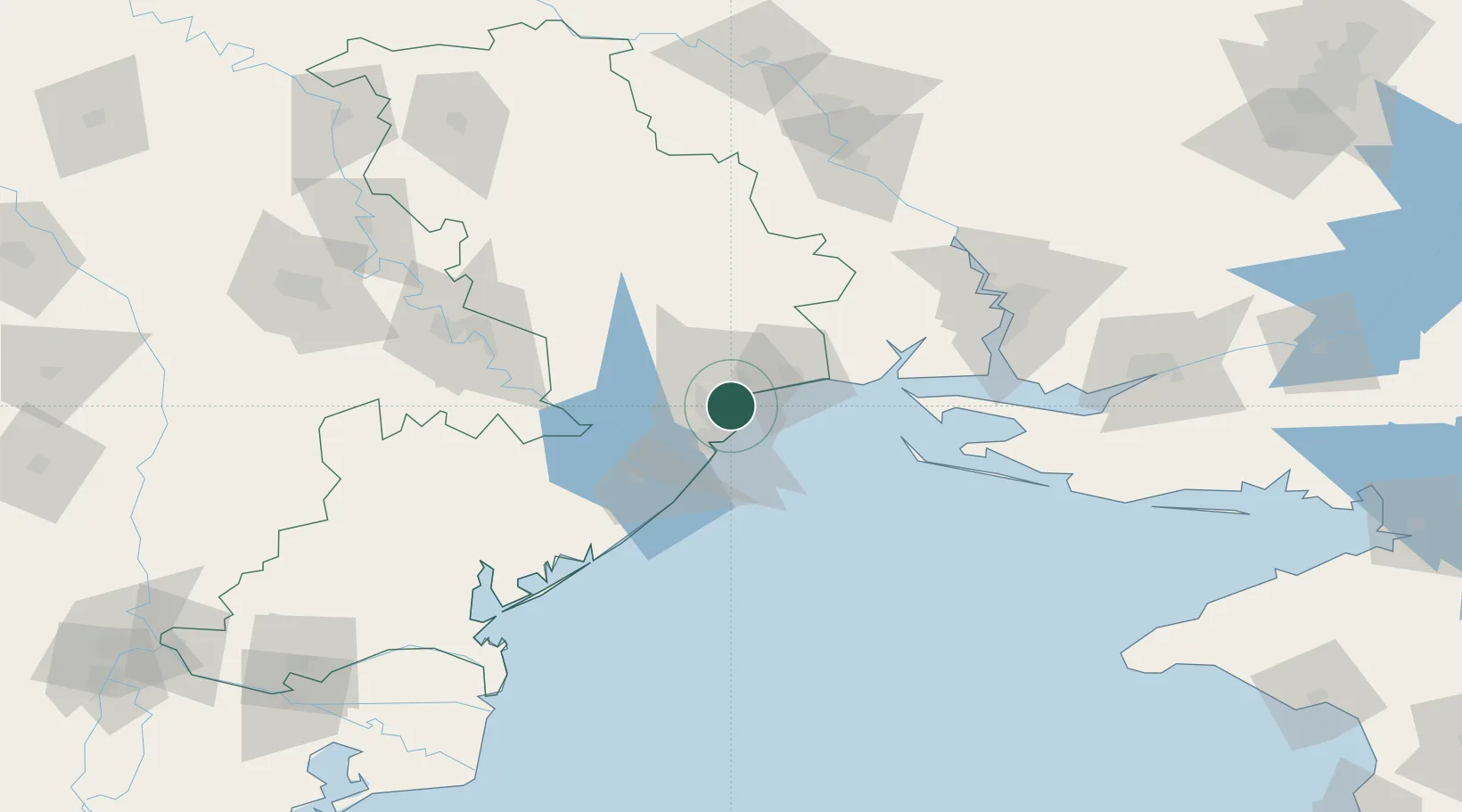
Odesa
46.5069°, 30.7501°
1,015,826
Population
5
Transport functions
2
Container terminals
Transport Functions
Port
Rail
Road
Airport
Multimodal
Hub Profile
Place type
Regional capital
Region
Odesa
Population
1,015,826
Time zone
Europe/Kyiv
Elevation
50 m
Logistics facilities
39
Container terminals
2
Location
Nearby Logistics Neighbours
Cities
- 1Chornomorsk17 km
- 2Pivdennyi26 km
- 3Kamenka41 km
- 4Bilhorod-Dnistrovskyi47 km
- 5Ochakiv63 km
Ports
- 1Yuzhnyy23 km
- 2Illichivsk24 km
- 3Belgorod-Dnestrovsky47 km
- 4Port Oktyabrsk97 km
- 5Mykolayiv106 km
Airports
Trade Zones
DatabookThe Record of Consolidated Knowledge
Ukraine beyond logistics?