Transport Functions
Rail
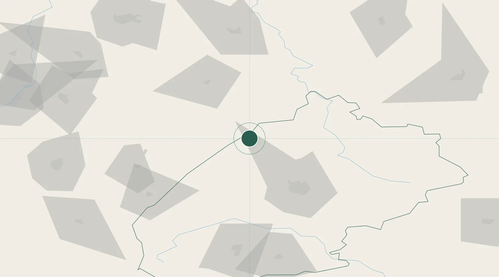
Location
Nearby Logistics Neighbours
Cities
- 1Hrebenne4 km
- 2Lubycza Królewska11 km
- 3Zwierzyniec60 km
- 4Hrubieszów65 km
- 5Mostiska65 km
Ports
- 1Kaliningrad538 km
- 2Baltiysk549 km
- 3Gdansk566 km
- 4Nowy Port572 km
- 5Gdynia587 km
Airports
- 1Lviv International Airport54 km
- 2Rzeszów-Jasionka Airport115 km
- 3Lublin Airport127 km
- 4Ivano-Frankivsk International Airport170 km
- 5Deblin Military Air Base189 km
DatabookThe Record of Consolidated Knowledge
Ukraine beyond logistics?