Transport Functions
Rail
Road
Hub Profile
Place type
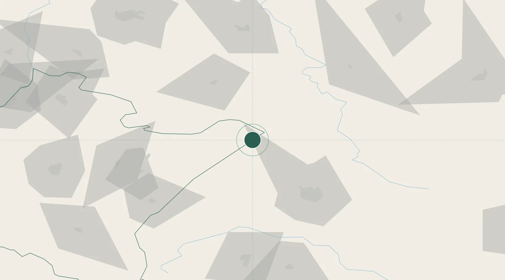
Populated place
Region
Lublin
Population
305
Time zone
Europe/Warsaw
Elevation
243 m
Location
Nearby Logistics Neighbours
Cities
- 1Rava Ruskaya4 km
- 2Lubycza Królewska8 km
- 3Zwierzyniec56 km
- 4Radymno63 km
- 5Mostiska64 km
Ports
- 1Kaliningrad535 km
- 2Baltiysk545 km
- 3Gdansk563 km
- 4Nowy Port569 km
- 5Gdynia584 km
Airports
- 1Lviv International Airport58 km
- 2Rzeszów-Jasionka Airport111 km
- 3Lublin Airport124 km
- 4Ivano-Frankivsk International Airport174 km
- 5Deblin Military Air Base185 km
DatabookThe Record of Consolidated Knowledge
Poland beyond logistics?