UN/LOCODE hub · Trinidad & Tobago
TTDMT
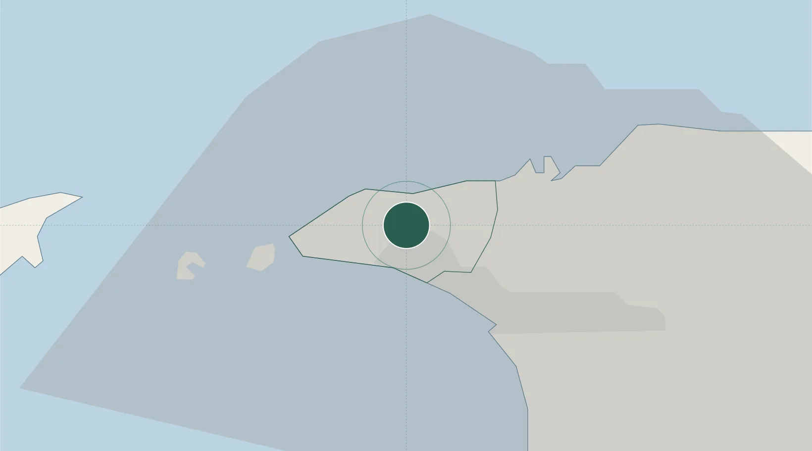
Diego Martin
10.7167°, -61.5667°
25,370
Population
1
Transport functions
Transport Functions
Multimodal
Hub Profile
Place type
Regional capital
Region
Diego Martin Regional Corporation
Population
25,370
Time zone
America/Port_of_Spain
Elevation
61 m
Location
Nearby Logistics Neighbours
Cities
- 1Carenage5 km
- 2Port-of-Spain9 km
- 3Laventille12 km
- 4Morvant/Port-of-Spain13 km
- 5Trincity24 km
Ports
- 1Anse Tembladora4 km
- 2Port Of Spain9 km
- 3Chaguaramas10 km
- 4Point Lisas Port36 km
- 5Pointe A Pierre46 km
Airports
Trade Zones
- 1Diamond Vale Industrial Park1 km
- 2Abbatoir10 km
- 3East Dry River Industrial Park10 km
- 4Sea Lots Industrial Park10 km
- 5Morvant Industrial Park12 km
DatabookThe Record of Consolidated Knowledge
Trinidad & Tobago beyond logistics?