Transport Functions
Port
Road
Hub Profile
Place type
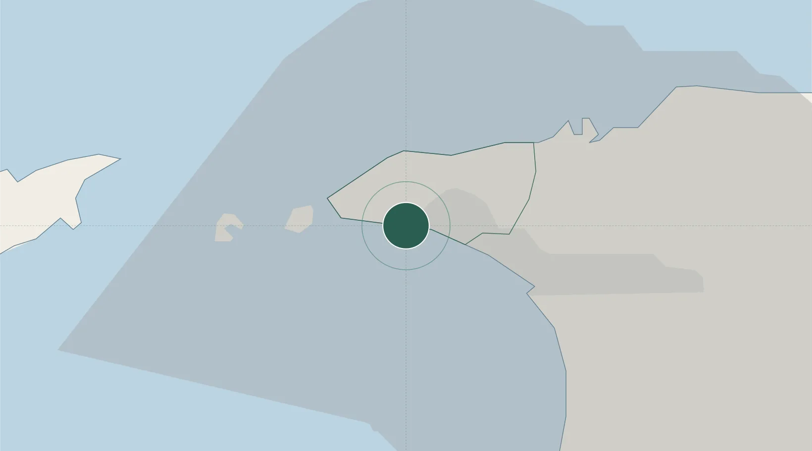
Populated place
Region
Diego Martin Regional Corporation
Time zone
America/Port_of_Spain
Elevation
13 m
Location
Nearby Logistics Neighbours
Cities
- 1Diego Martin5 km
- 2Port-of-Spain10 km
- 3Laventille13 km
- 4Morvant/Port-of-Spain15 km
- 5Trincity26 km
Ports
- 1Anse Tembladora2 km
- 2Chaguaramas6 km
- 3Port Of Spain10 km
- 4Point Lisas Port33 km
- 5Pointe A Pierre43 km
Airports
Trade Zones
- 1Diamond Vale Industrial Park6 km
- 2Abbatoir10 km
- 3Sea Lots Industrial Park11 km
- 4East Dry River Industrial Park11 km
- 5Morvant Industrial Park14 km
DatabookThe Record of Consolidated Knowledge
Trinidad & Tobago beyond logistics?