Transport Functions
Port
Hub Profile
Place type
Regional capital
Region
Zonguldak Province
Population
101,749
Time zone
Europe/Istanbul
Elevation
24 m
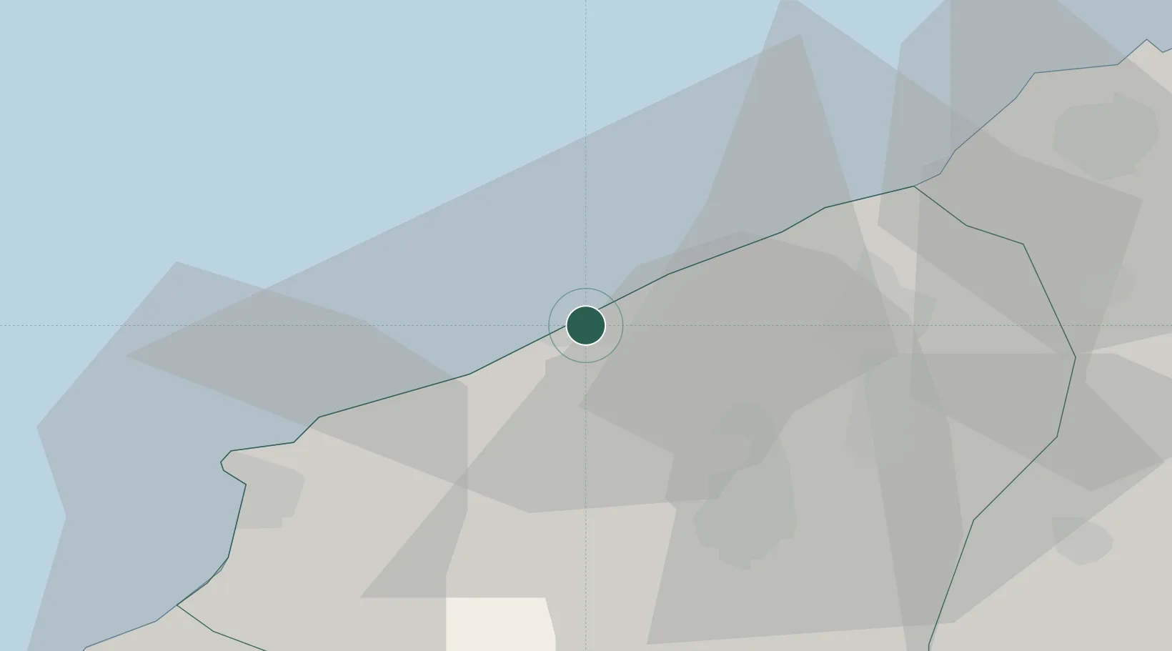
Location
Nearby Logistics Neighbours
Ports
- 1Eregli32 km
- 2Izmit174 km
- 3Inebolu175 km
- 4Derince Burnu182 km
- 5Golcuk Burnu183 km
Airports
- 1Zonguldak Çaycuma Airport26 km
- 2Cengiz Topel Airport163 km
- 3Akıncı Air Base166 km
- 4Kastamonu Airport169 km
- 5Esenboğa International Airport179 km
Trade Zones
DatabookThe Record of Consolidated Knowledge
Türkiye beyond logistics?